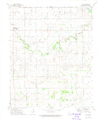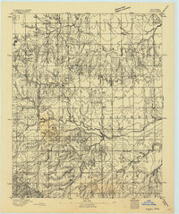
1893 Map of Loyal
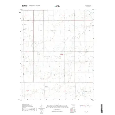
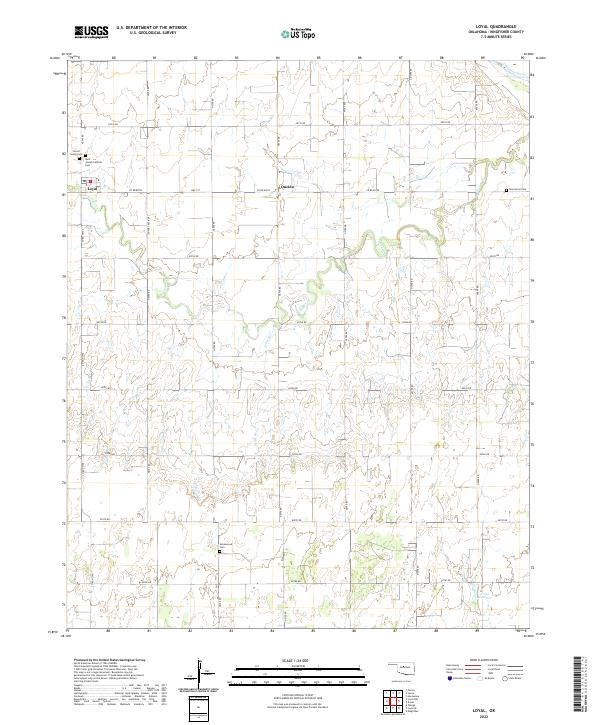
USGS Topo · Published 1893About this map
The Cheyenne and Arapahoe Reservation dominates the southern landscape of this territory shortly after the land runs opened the region to settlement. Surveyed under Director J.W. Powell, the terrain is defined by the intricate drainages of Kingfisher Creek and its South Fork, alongside Cooper Creek and Otter Creek to the north. These waterways dictate the placement of early frontier communities like Omega, Alpha, and Huntsville, which appear here in their infancy. The map also captures the Blaine Co Kingfisher Co Boundary Line, marking the formal administrative division of these newly organized counties. Topographic landmarks such as Cheyenne Butte and the watering point at Elm Spring provide essential orientation in a region then undergoing rapid transformation from tribal lands to structured agrarian townships.
Find a feature on this map
13 named features on this map. Tap any name to fly to it.
Don’t see what you’re looking for? This feature index may not catch every label — zoom into the map to look around manually.
Map Details
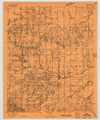
Editions of this 1893 Loyal Map
2 editions found
Historical Maps of Loyal Through Time
6 maps found