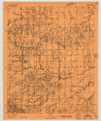
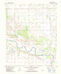
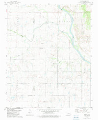
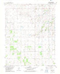
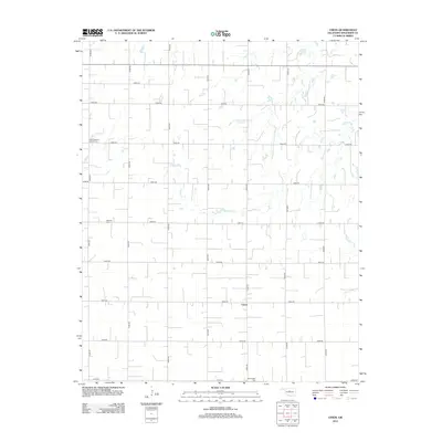
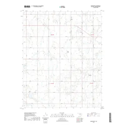
1893 Map of Omega
USGS Topo · Published 1893About this map
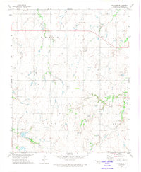
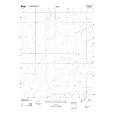
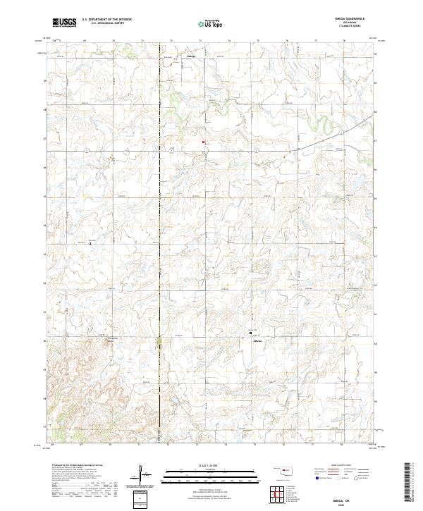
The Cheyenne and Arapahoe Reservation dominates this landscape in central Oklahoma, shortly after the 1892 Land Run opened much of the territory to settlement. The early grid-iron plat of Omega sits just east of the Blaine Co Kingfisher Co Boundary Line, marking a point of rapid transition from communal tribal lands to individual homesteads. The terrain is defined by the winding drainage systems of Kingfisher Creek and the South Fork Kingfisher Creek, which carve deep contours into the earth near Cheyenne Butte. Small, isolated outposts like Alpha, Huntsville, and Elm Spring appear as foundational nodes of rural community life during the Territorial era, providing essential reference points for genealogists tracing family claims in the years before statehood. This advance sheet from director J.W. Powell offers a rare primary look at the land's hydrology and early territorial topography.
Find a feature on this map
12 named features on this map. Tap any name to fly to it.
Don’t see what you’re looking for? This feature index may not catch every label — zoom into the map to look around manually.
Map Details
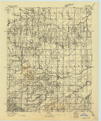
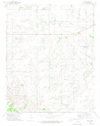
Editions of this 1893 Omega Map
2 editions found
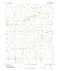
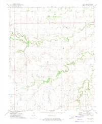
Historical Maps of Loyal Through Time
55 maps found
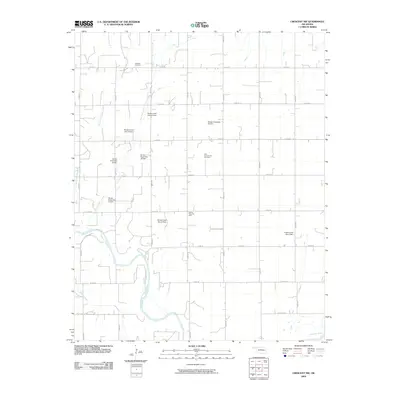
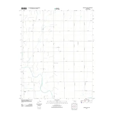
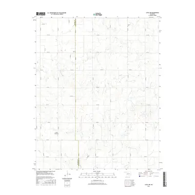
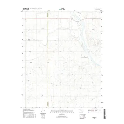
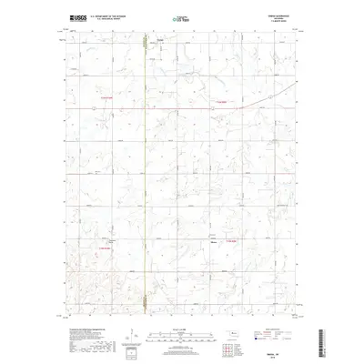
1893 Omega
Kingfisher County, OK
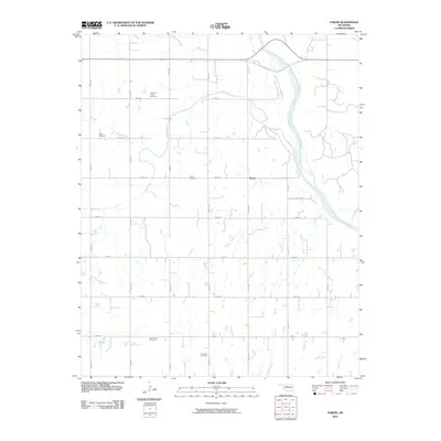
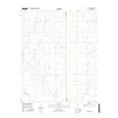
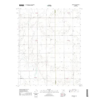
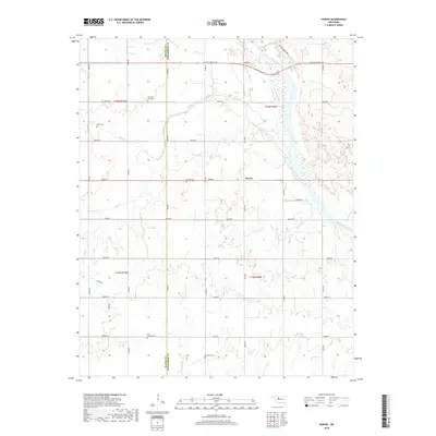
1969 Crescent NW
Kingfisher County, OK
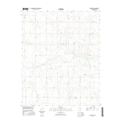
1972 Kingfisher NE
Kingfisher County, OK
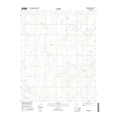
1972 Kingfisher SE
Kingfisher County, OK
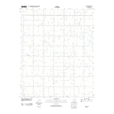
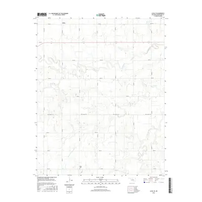
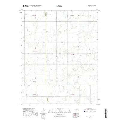
1972 Loyal NW
Kingfisher County, OK
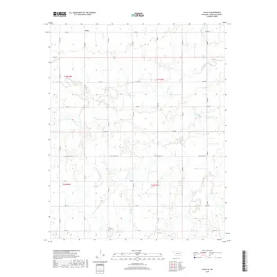
1972 Loyal SE
Kingfisher County, OK
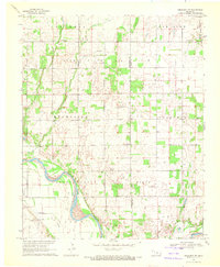
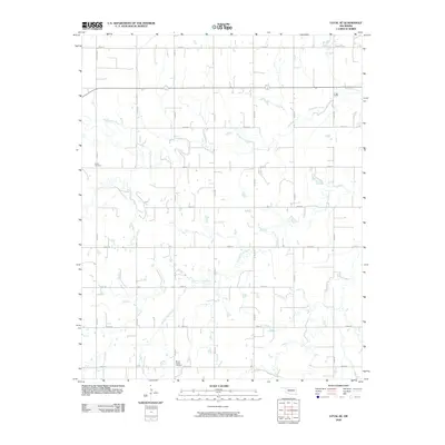
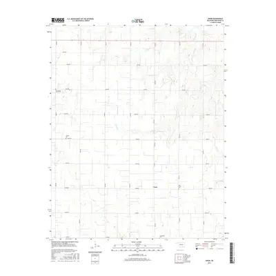
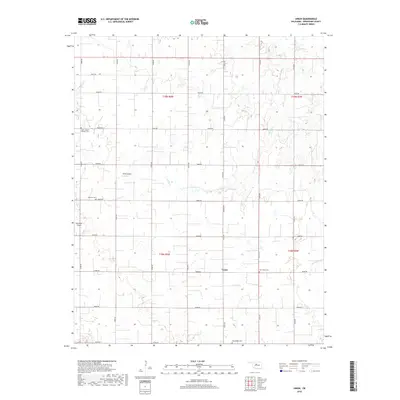
1972 Omega
Kingfisher County, OK
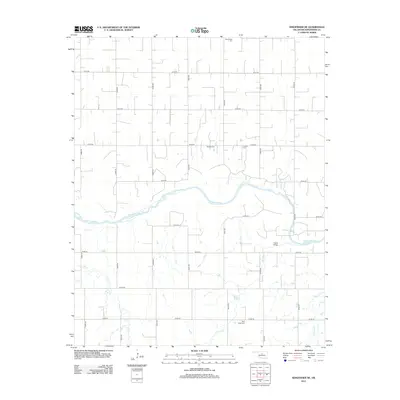
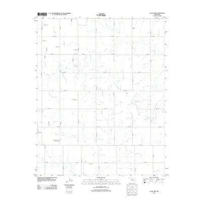
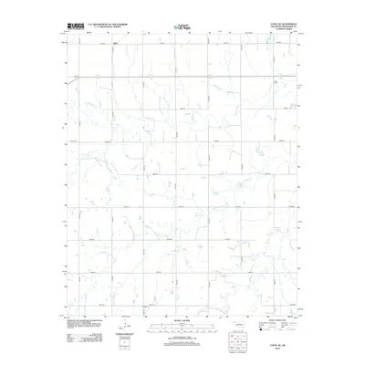
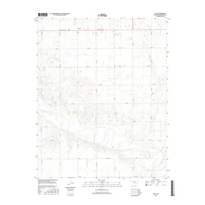
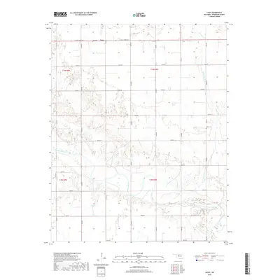
1982 Lacey
Kingfisher County, OK
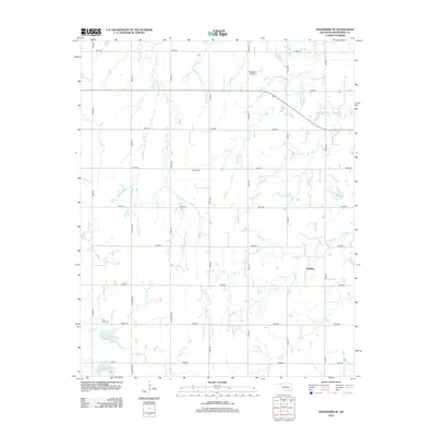
1982 Parvin
Kingfisher County, OK
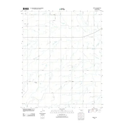
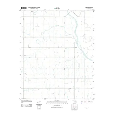
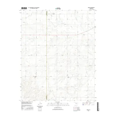
1982 Union
Kingfisher County, OK
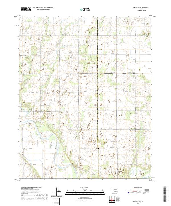
2009 Crescent NW
Kingfisher County, OK
2009 Kingfisher NE
Kingfisher County, OK
2009 Kingfisher SE
Kingfisher County, OK
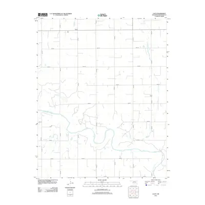
2009 Lacey
Kingfisher County, OK
2009 Loyal NW
Kingfisher County, OK
2009 Loyal SE
Kingfisher County, OK
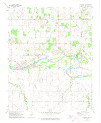
2009 Omega
Kingfisher County, OK
2009 Union
Kingfisher County, OK
2010 Parvin
Kingfisher County, OK
2012 Crescent NW
Kingfisher County, OK
2012 Kingfisher NE
Kingfisher County, OK
2012 Kingfisher SE
Kingfisher County, OK
2012 Lacey
Kingfisher County, OK
2012 Loyal NW
Kingfisher County, OK
2012 Loyal SE
Kingfisher County, OK
2012 Omega
Kingfisher County, OK
2012 Parvin
Kingfisher County, OK
2012 Union
Kingfisher County, OK
2016 Crescent NW
Kingfisher County, OK
2016 Kingfisher NE
Kingfisher County, OK
2016 Kingfisher SE
Kingfisher County, OK
2016 Lacey
Kingfisher County, OK
2016 Loyal NW
Kingfisher County, OK
2016 Loyal SE
Kingfisher County, OK
2016 Omega
Kingfisher County, OK
2016 Parvin
Kingfisher County, OK
2016 Union
Kingfisher County, OK
2018 Crescent NW
Kingfisher County, OK
2018 Kingfisher NE
Kingfisher County, OK
2018 Kingfisher SE
Kingfisher County, OK
2018 Lacey
Kingfisher County, OK
2018 Loyal NW
Kingfisher County, OK
2018 Loyal SE
Kingfisher County, OK
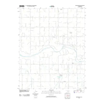
2018 Omega
Kingfisher County, OK
2018 Parvin
Kingfisher County, OK
2018 Union
Kingfisher County, OK
2022 Crescent NW
Kingfisher County, OK
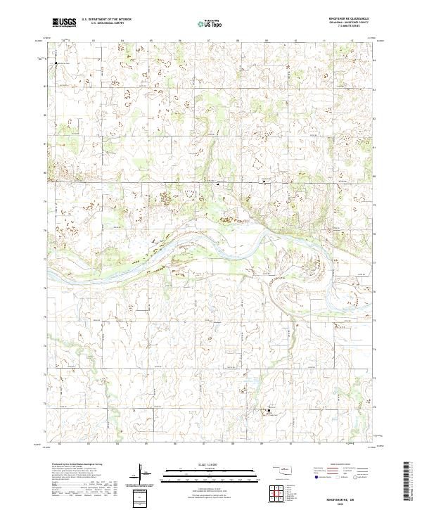
2022 Kingfisher NE
Kingfisher County, OK
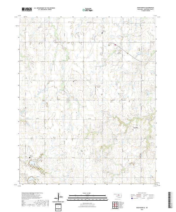
2022 Kingfisher SE
Kingfisher County, OK
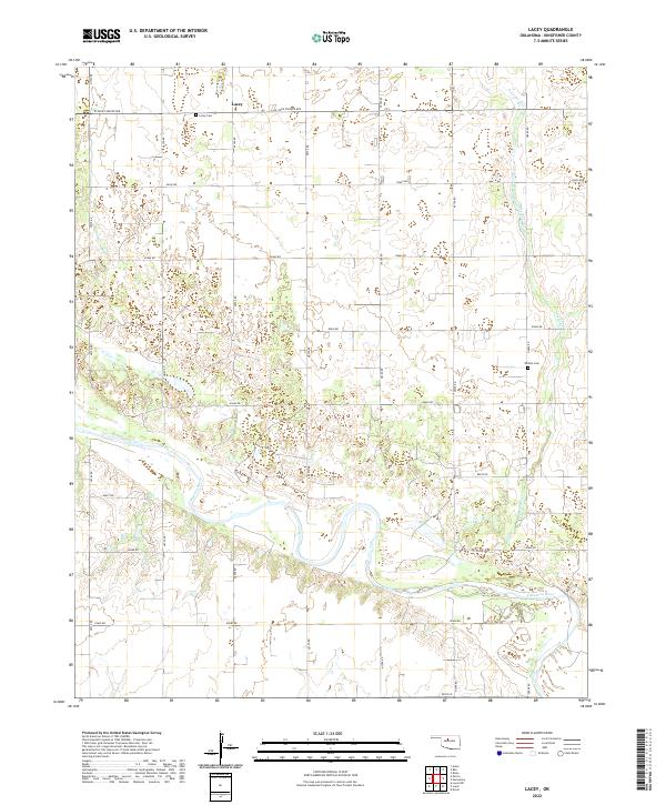
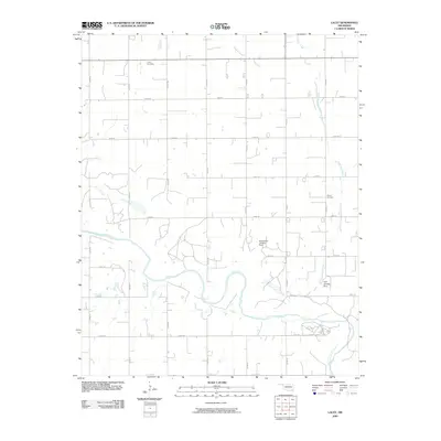
2022 Lacey
Kingfisher County, OK
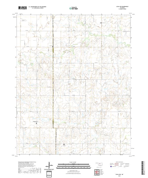
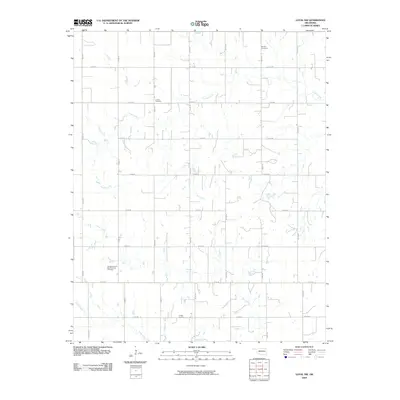
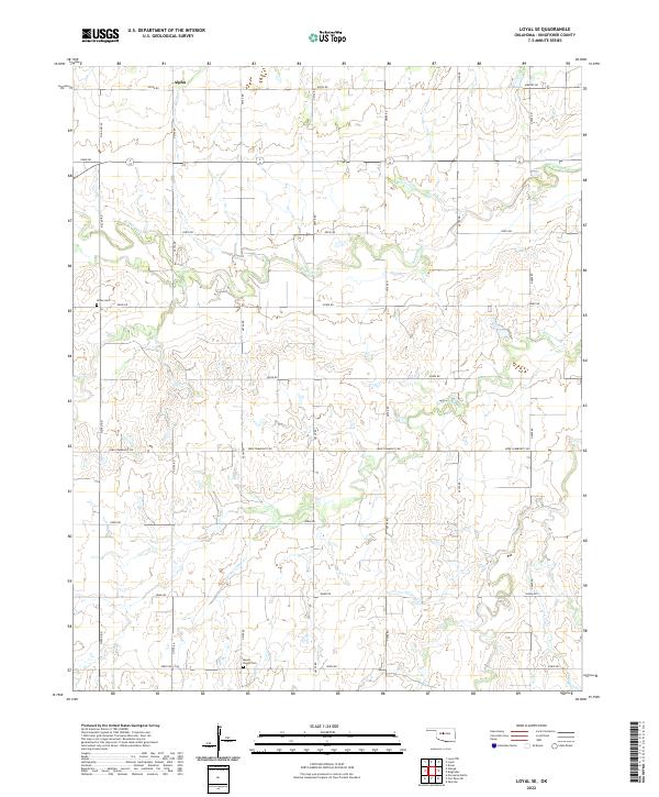
2022 Loyal NW
Kingfisher County, OK
2022 Loyal SE
Kingfisher County, OK
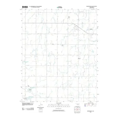
2022 Omega
Kingfisher County, OK
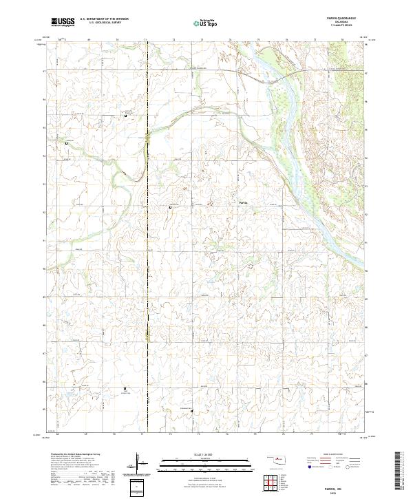
2022 Parvin
Kingfisher County, OK
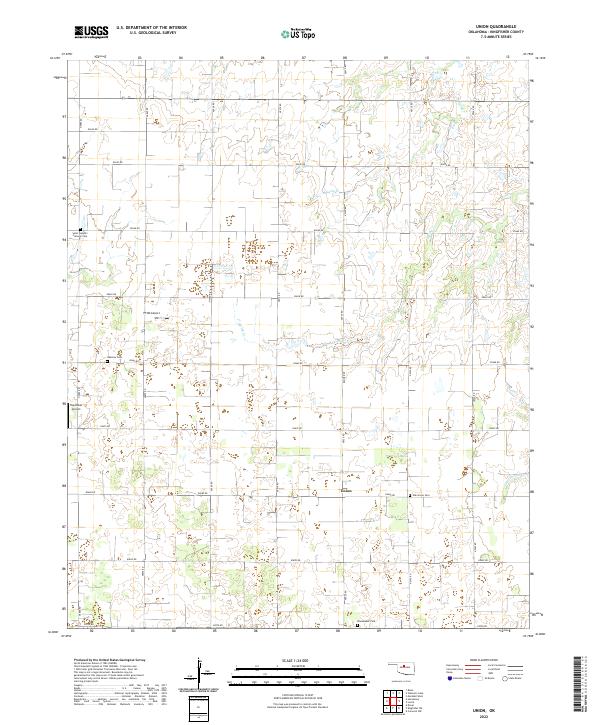
2022 Union
Kingfisher County, OK