
1941 Map of Fort Reno
USGS Topo · Published 1941About this map
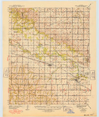
The Fort Reno Military Reservation dominates this 1930s landscape in Canadian County, serving as a significant hub for military and agricultural activity along the North Canadian River. The area is notably dense with educational and indigenous history, centered around the Cheyenne & Arapaho Agricultural School and the Darlington State Game Farm. Small rural schoolhouses like Sunny Hill Sch and Mound Valley Sch dot the townships of Altona, Park, and Maple, illustrating a traditional agrarian social structure.
Find a feature on this map
53 named features on this map. Tap any name to fly to it.
Don’t see what you’re looking for? This feature index may not catch every label — zoom into the map to look around manually.
Map Details
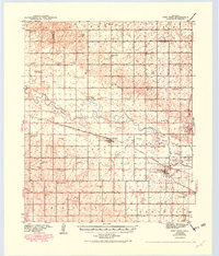
Editions of this 1941 Fort Reno Map
3 editions found
Other maps of this area

1892 · Kingfisher
USGS Topo · 1:125,000

1893 · Fort Reno
USGS Topo · 1:62,500

1893 · Buggy Creek
USGS Topo · 1:62,500

1893 · Minco
USGS Topo · 1:62,500

1893 · Loyal
USGS Topo · 1:62,500

1895 · Kingfisher
USGS Topo · 1:125,000

1904 · Chickasha
USGS Topo · 1:125,000

1942 · Fort Reno
USGS Topo · 1:62,500

1942 · Geary
USGS Topo · 1:62,500

1949 · Fort Reno
USGS Topo · 1:62,500