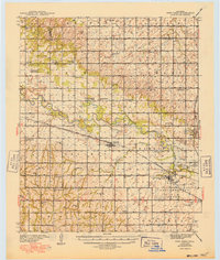
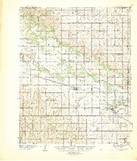
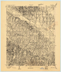
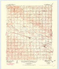
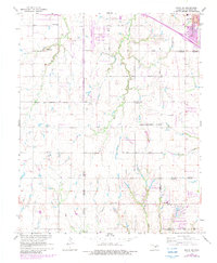
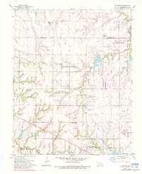
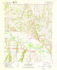
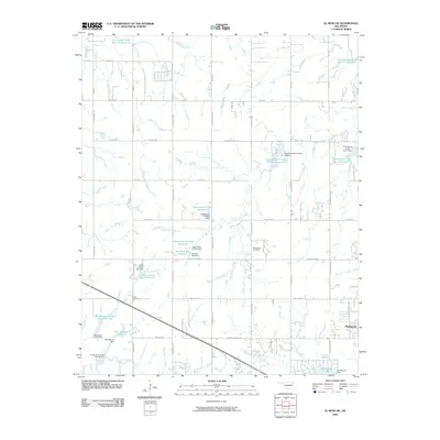
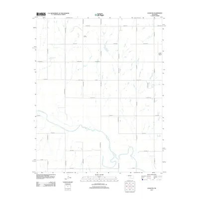
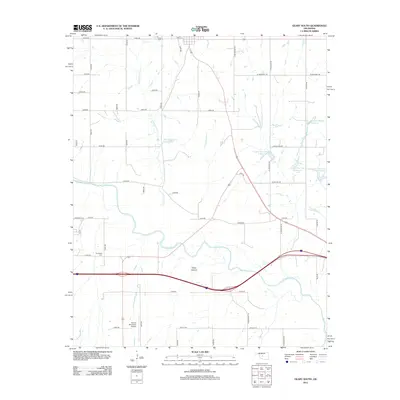
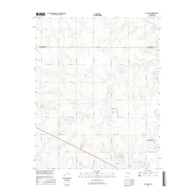
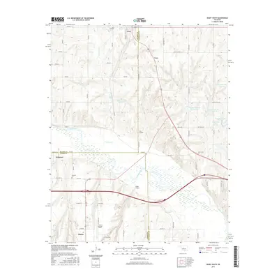
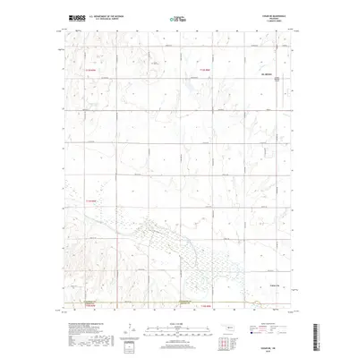
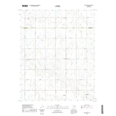
1941 Map of Fort Reno
USGS Topo · Published 1949About this map
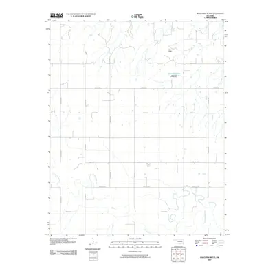
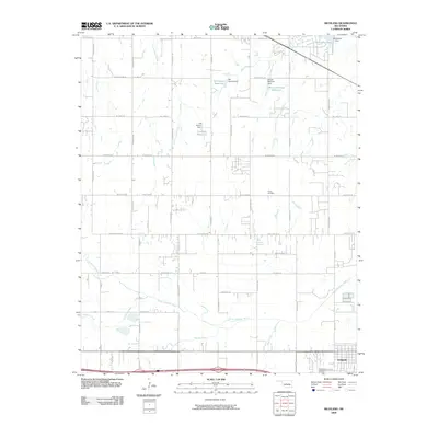
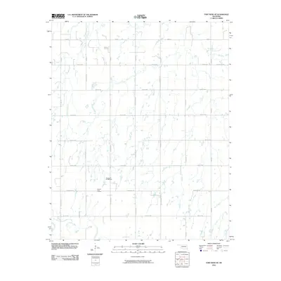
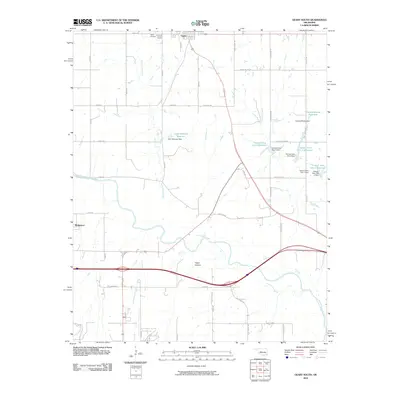
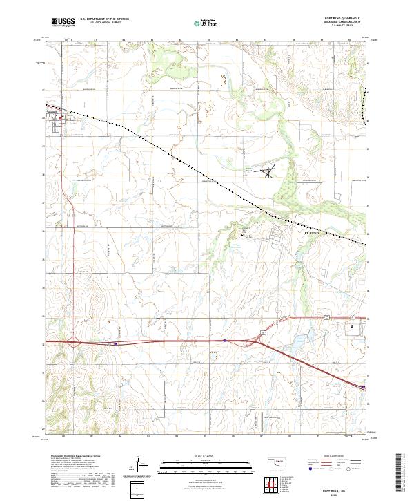
Fort Reno Quartermaster Depot and the surrounding Canadian County prairie lands define this pre-war survey. The landscape is a network of small school districts and rural centers like Calumet and Concho, connected by the Chicago Rock Island and Pacific railroad and the winding course of the North Canadian River. The map reveals the extensive institutional footprint of the era, including the Darlington State Game Farm, the U S Southwestern Reformatory, and the Cheyenne & Arapaho Agricultural School. Local heritage is deeply etched into the township grid, from family-named landmarks like Porcupine Butte to isolated spiritual centers such as the Swappingback Indian Chapel and Coleman Chapel. Scores of country schools, including Sunny Hill Sch and Mound Valley Sch, mark the intersections of a dense farming community before the consolidation of the mid-20th century.
Find a feature on this map
53 named features on this map. Tap any name to fly to it.
Don’t see what you’re looking for? This feature index may not catch every label — zoom into the map to look around manually.
Map Details
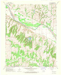
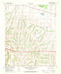
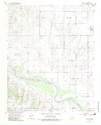
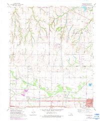
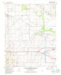
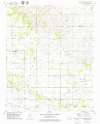
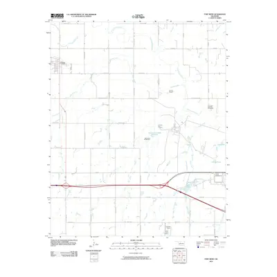
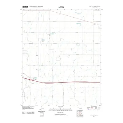
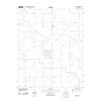
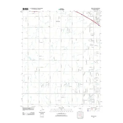
Editions of this 1941 Fort Reno Map
3 editions found
Historical Maps of El Reno Through Time
65 maps found
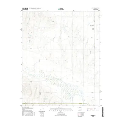
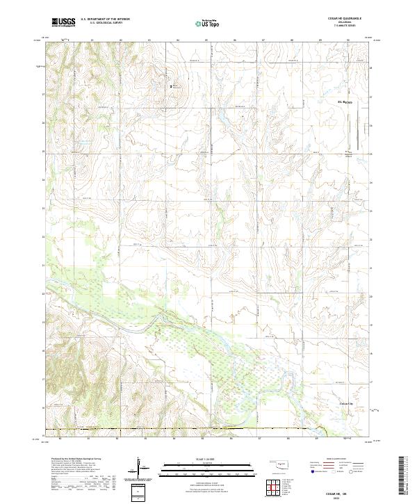
1893 Cogar
Canadian County, OK

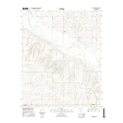
1893 Fort Reno
Canadian County, OK
1941 Fort Reno
Canadian County, OK

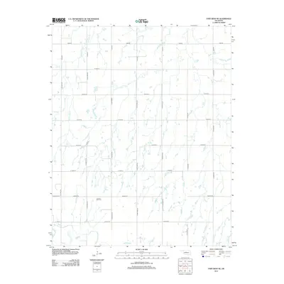
1942 Fort Reno
Canadian County, OK

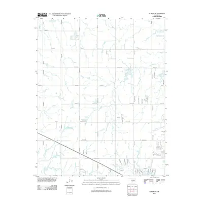
1949 Fort Reno
Canadian County, OK
1966 Minco NE
Canadian County, OK
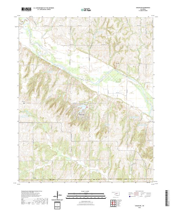
1967 Cogar NW
Canadian County, OK
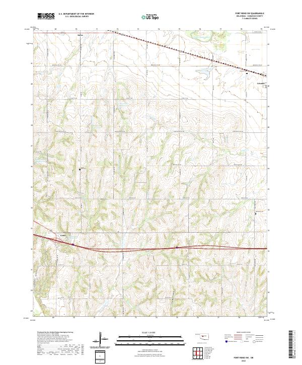
1967 Fort Reno SW
Canadian County, OK
1968 Cogar NE
Canadian County, OK
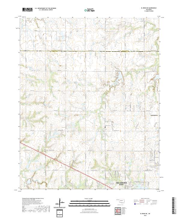
1972 El Reno NE
Canadian County, OK
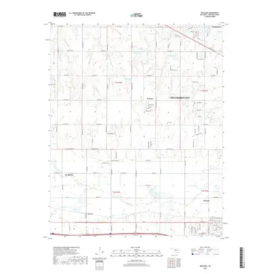
1972 Richland
Canadian County, OK
1979 Fort Reno
Canadian County, OK
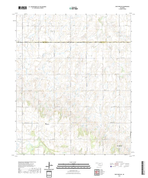
1979 Fort Reno NE
Canadian County, OK
1979 Geary South
Canadian County, OK
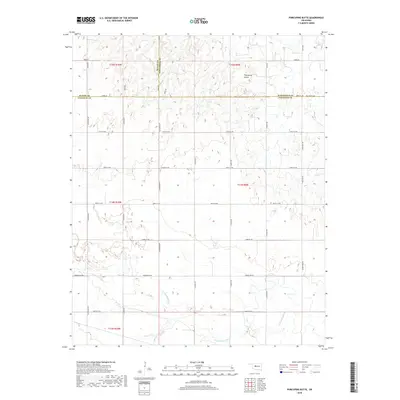
1979 Porcupine Butte
Canadian County, OK
2009 Cogar NE
Canadian County, OK
2009 Cogar NW
Canadian County, OK
2009 El Reno NE
Canadian County, OK
2009 Fort Reno
Canadian County, OK
2009 Fort Reno SW
Canadian County, OK
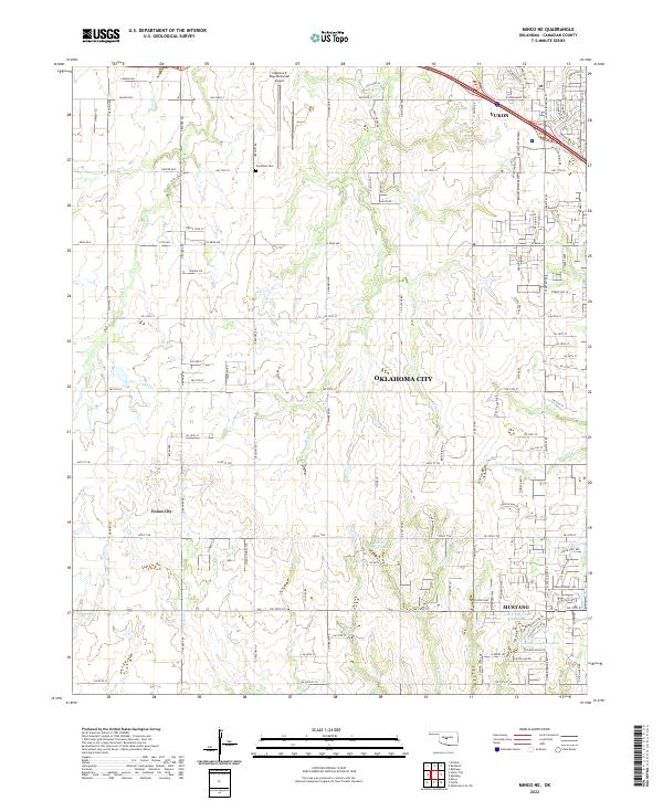
2009 Minco NE
Canadian County, OK
2009 Porcupine Butte
Canadian County, OK
2009 Richland
Canadian County, OK
2010 Fort Reno NE
Canadian County, OK
2010 Geary South
Canadian County, OK
2012 Cogar NE
Canadian County, OK
2012 Cogar NW
Canadian County, OK
2012 Fort Reno
Canadian County, OK
2012 Fort Reno SW
Canadian County, OK
2012 Geary South
Canadian County, OK
2012 Minco NE
Canadian County, OK
2012 Porcupine Butte
Canadian County, OK
2012 Richland
Canadian County, OK
2013 El Reno NE
Canadian County, OK
2013 Fort Reno NE
Canadian County, OK
2016 Cogar NE
Canadian County, OK
2016 Cogar NW
Canadian County, OK
2016 El Reno NE
Canadian County, OK
2016 Fort Reno
Canadian County, OK
2016 Fort Reno NE
Canadian County, OK
2016 Fort Reno SW
Canadian County, OK
2016 Geary South
Canadian County, OK
2016 Minco NE
Canadian County, OK
2016 Porcupine Butte
Canadian County, OK
2016 Richland
Canadian County, OK
2018 Cogar NE
Canadian County, OK
2018 Cogar NW
Canadian County, OK
2018 El Reno NE
Canadian County, OK
2018 Fort Reno
Canadian County, OK
2018 Fort Reno NE
Canadian County, OK
2018 Fort Reno SW
Canadian County, OK
2018 Geary South
Canadian County, OK
2018 Minco NE
Canadian County, OK
2018 Porcupine Butte
Canadian County, OK
2018 Richland
Canadian County, OK
2022 Cogar NE
Canadian County, OK
2022 Cogar NW
Canadian County, OK
2022 El Reno NE
Canadian County, OK
2022 Fort Reno
Canadian County, OK
2022 Fort Reno NE
Canadian County, OK
2022 Fort Reno SW
Canadian County, OK

2022 Geary South
Canadian County, OK
2022 Minco NE
Canadian County, OK
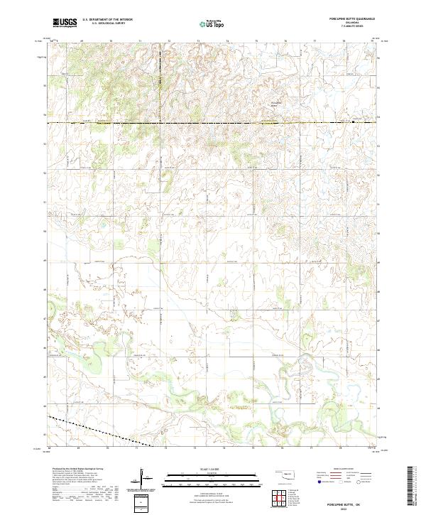
2022 Porcupine Butte
Canadian County, OK
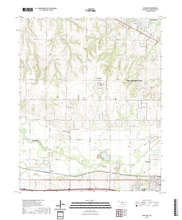
2022 Richland
Canadian County, OK