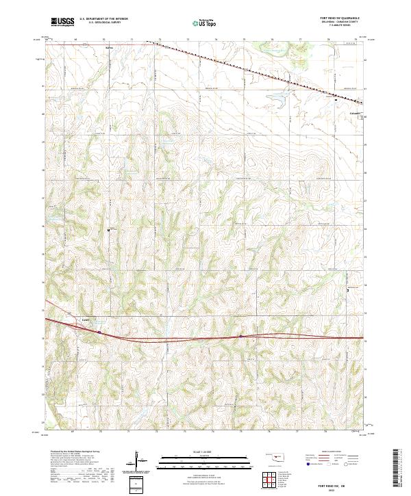
2022 Map of Fort Reno SW
USGS Topo · Published 2022About this map
The North Canadian River meanders across the northeastern corner of this Canadian County landscape, anchoring a region defined by agricultural sections and scattered water management sites. Small settlements like Karns and Calumet are joined by the larger community of Geary in the southwest, reflecting the rural settlement patterns of central Oklahoma. The topography is marked by several small impoundments such as Roy Stokes Reservoir and Headrick Reservoir, which support the local drainage network including Sixmile Cr and Powder Face Cr. Local history and genealogy are preserved in the presence of several community burial grounds, including Sunny Hill Cem and Red Rock Cem. In the southern portion of the map, the terrain descends into Tall Bear Canyon, contrasting with the more level sections found near Laughlin Lake.
Find a feature on this map
48 named features on this map. Tap any name to fly to it.
Don’t see what you’re looking for? This feature index may not catch every label — zoom into the map to look around manually.
Map Details
Editions of this 2022 Fort Reno SW Map
This is the sole edition of this map. No revisions or reprints were ever made.
Other maps of this area

1893 · Fort Reno
USGS Topo · 1:62,500

1893 · Buggy Creek
USGS Topo · 1:62,500

1941 · Fort Reno
USGS Topo · 1:62,500

1942 · Fort Reno
USGS Topo · 1:62,500

1942 · Geary
USGS Topo · 1:62,500

1949 · Fort Reno
USGS Topo · 1:62,500

1951 · Binger
USGS Topo · 1:62,500

1955 · Clinton
USGS Topo · 1:250,000

1957 · Clinton
USGS Topo · 1:250,000

1967 · Fort Reno SW
USGS Topo · 1:24,000