
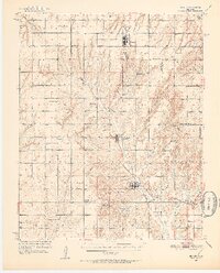
1951 Map of Binger
USGS Topo · Published 1952About this map
Binger and Hinton anchor this mid-century Caddo County landscape, which is defined by a dense network of rural school districts and small agricultural hubs. The terrain transitions from the broad Canadian River valley in the north down through the drainage systems of Sugar Creek and Medicine Creek. This era of Oklahoma history is captured through its social infrastructure, featuring numerous local schoolhouses such as Pleasant View Sch and Moss Grove Sch, alongside community centers like the Indian Community House and Bald Knob Community House. The map records a time when small, independent school districts were still the primary organizers of rural life before widespread consolidation. Navigation for the early aviation era is marked by the Airway Beacon near Lookeba, while localized place names like Three-Way Corner and Lone Mound provide specific reference points for genealogists and local historians tracing mid-century farmsteads and travel routes.
Find a feature on this map
42 named features on this map. Tap any name to fly to it.
Don’t see what you’re looking for? This feature index may not catch every label — zoom into the map to look around manually.
Map Details
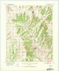
Editions of this 1951 Binger Map
3 editions found
Other maps of this area

1893 · Fort Reno
USGS Topo · 1:62,500

1893 · Buggy Creek
USGS Topo · 1:62,500

1941 · Fort Reno
USGS Topo · 1:62,500

1942 · Fort Reno
USGS Topo · 1:62,500

1942 · Geary
USGS Topo · 1:62,500

1945 · Anadarko
USGS Topo · 1:62,500

1949 · Fort Reno
USGS Topo · 1:62,500

1951 · Fort Cobb
USGS Topo · 1:62,500

1955 · Clinton
USGS Topo · 1:250,000

1957 · Clinton
USGS Topo · 1:250,000