
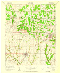
1951 Map of Fort Cobb
USGS Topo · Published 1952About this map
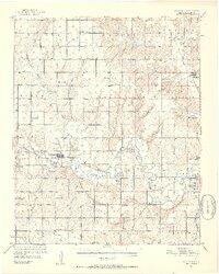
Fort Cobb and Anadarko anchor this 1950s survey of Caddo County, where the Chicago Rock Island And Pacific railroad cuts a diagonal path through the Oklahoma landscape. The region is defined by the winding course of the Washita River and its numerous tributaries like Cobb Creek and Keechi Creek. A significant layer of cultural history is visible through several institutional landmarks, including the St Patricks Indian Mission and the Riverside Indian Sch near the eastern edge of the map. The rural character of the era is preserved in the dense network of country schools and churches such as New Salem Sch, Foster Sch, and Apache Ch. Settlement patterns follow both the rail lines and the small crossroads, with small centers like Washita, Gracemont, and Albert providing essential hubs for the surrounding agricultural community during the early postwar years.
Find a feature on this map
51 named features on this map. Tap any name to fly to it.
Don’t see what you’re looking for? This feature index may not catch every label — zoom into the map to look around manually.
Map Details
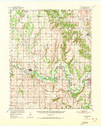
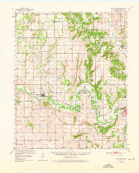
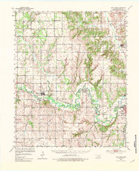
Editions of this 1951 Fort Cobb Map
5 editions found
Other maps of this area

1893 · Buggy Creek
USGS Topo · 1:62,500

1945 · Anadarko
USGS Topo · 1:62,500

1949 · Cement
USGS Topo · 1:62,500

1950 · Saddle Mountain
USGS Topo · 1:62,500

1951 · Binger
USGS Topo · 1:62,500

1955 · Lawton
USGS Topo · 1:250,000

1955 · Clinton
USGS Topo · 1:250,000

1956 · Alden
USGS Topo · 1:24,000

1956 · Boone
USGS Topo · 1:24,000
1956 · Cyril
USGS Topo · 1:24,000