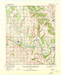
1951 Map of Fort Cobb
USGS Topo · Published 1973About this map
The Washita River carves a winding path through Caddo County, anchoring a mid-century landscape defined by educational and missionary institutions. In the early 1950s, this area served as a focal point for tribal history and community life, evidenced by the St Patricks Indian Mission and Redstone Mission. The rail economy of the Chicago Rock Island and Pacific railroad connects the primary hubs of Anadarko and Fort Cobb, passing through smaller rural outposts like Gracemont. This survey reveals a dense network of country schools, such as Spring Valley Sch and Oakdale Sch, reflecting the decentralized rural population of the era. To the south, the terrain descends toward Tonkawa Island and the complex drainage of Hog Creek, while family-named landmarks like Ware Cem and Memory Lane Cem provide essential data for those tracing local lineages.
Find a feature on this map
48 named features on this map. Tap any name to fly to it.
Don’t see what you’re looking for? This feature index may not catch every label — zoom into the map to look around manually.
Map Details
Editions of this 1951 Fort Cobb Map
5 editions found
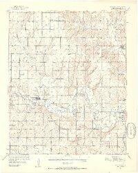
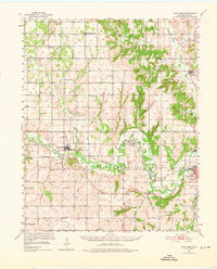
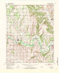
Other maps of this area

1893 · Buggy Creek
USGS Topo · 1:62,500

1945 · Anadarko
USGS Topo · 1:62,500

1949 · Cement
USGS Topo · 1:62,500

1950 · Saddle Mountain
USGS Topo · 1:62,500

1951 · Binger
USGS Topo · 1:62,500

1951 · Fort Cobb
USGS Topo · 1:62,500

1955 · Lawton
USGS Topo · 1:250,000

1955 · Clinton
USGS Topo · 1:250,000

1956 · Alden
USGS Topo · 1:24,000

1956 · Boone
USGS Topo · 1:24,000