Old Maps of Crow Roost, Oklahoma
Explore 17 old maps of Crow Roost, spanning from 1951 to today. These high-resolution historic maps reveal how streets, neighborhoods, landmarks, and natural features evolved over time — perfect for genealogy, metal detecting, research, and local history exploration.
What you can do with these maps:
- See how Crow Roost changed over time: Compare historical maps to modern-day views to trace roads, homesites, rail lines & more.
- View detailed metadata: Each map includes creators, publishers, year, scale, and archive source.
- Overlay maps with satellite & LiDAR: Visualize the past alongside modern tools to explore terrain & human change.
- Trusted historical sources: Maps sourced from the USGS, Library of Congress, and other archives.
- Access maps your way: View online, download high-res files, or order prints for personal or research use.
Start exploring old maps of Crow Roost to uncover forgotten places, hidden landmarks, and the deep history beneath your feet.
Crow Roost, OK maps
(17)- 1951 Map of Fort Cobb, 1952 Print
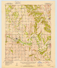 1951 Fort Cobb1952 Print · USGSCaddo County's agricultural and rail-driven landscape is captured here in the early fifties, centered on the Washita River valley. Genealogists and historians can trace the foundations of local life through rural landmarks like St Patricks Indian Mission, Oak Grove Cem, and the Riverside Indian Sch.5 unique versions available
 - 1955 Map of Clinton, 1964 Print
 1955 Clinton1964 Print · USGSWestern Oklahoma during the mid-century transition shows a landscape of growing reservoirs and active military flight lines. Genealogists and historians can locate rural landmarks such as Mountain View Church, Berlin School, and the Riverside Indian School Reserve.3 unique versions available
 - 1957 Map of Clinton
 1957 Clinton1957 Print · USGSWestern Oklahoma in the mid-fifties is captured here as a landscape of river-valley settlements and emerging energy fields. Genealogists can trace family roots through numerous rural landmarks like the Swapping Back Indian School, Hebron Church, and the Riverside Indian School Reserve.
 - 1961 Map of Carnegie, 1963 Print
 1961 Carnegie1963 Print · USGSThe Washita River valley in the early sixties serves as the focal point for this survey of Carnegie and Mountain View. Genealogists can trace family names at Indian Mission, Cedar Creek Cem, or the Old Indian Treaty Boundary.
 - 1979 Map of Fort Cobb Dam
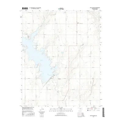
 1979 Fort Cobb Dam1979 Print · USGSFort Cobb, Oklahoma is shown here in the late seventies just as the reservoir and state park had matured into a regional fixture. Genealogists and local historians can trace the foundations of Albert, the Oney Sch, and quiet landmarks like Highland Ch.
 - 1984 Map of Alfalfa, 1985 Print
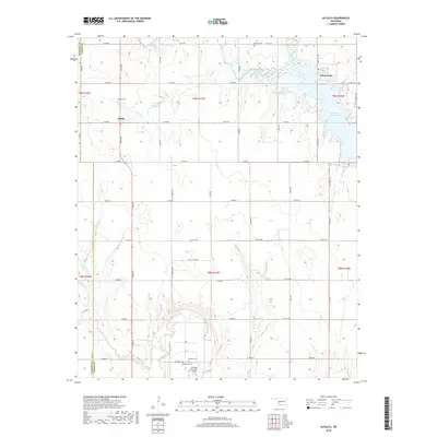
 1984 Alfalfa1985 Print · USGSIn the mid-1980s, the plains of Caddo County were defined by the waters of the Fort Cobb Reservoir and the rural community of Alfalfa. Genealogists and researchers can locate old landmarks like the Alfalfa Sch, Daugamah Cem, and the meandering path of the Washita River.
 - 1986 Map of Anadarko
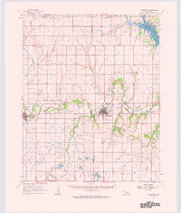
 1986 Anadarko1986 Print · USGSThe Oklahoma plains around Anadarko are captured in the mid-1980s, showing the intersection of rail history and tribal heritage. Genealogists and historians can trace the Indian Treaty Boundary or locate old rail stops along the Burlington Northern Railroad and Atchison, Topeka and Santa Fe Railway.2 unique versions available
 - 2010 Map of Alfalfa, 2010 Print
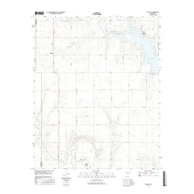
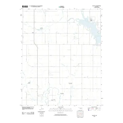 2010 Alfalfa2010 Print · USGSCovers Crow Roost, including Alfalfa, Swan Lake, and other nearby areas
 - 2010 Map of Fort Cobb Dam, 2010 Print
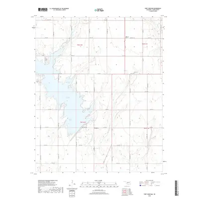
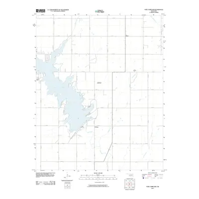 2010 Fort Cobb Dam2010 Print · USGSCovers Crow Roost, including Nowhere, Albert, and other nearby areas
 - 2012 Map of Fort Cobb Dam, 2012 Print
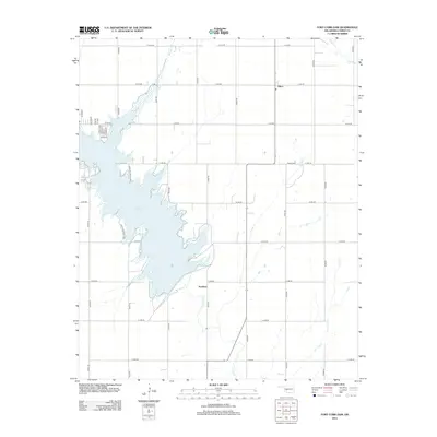 2012 Fort Cobb Dam2012 Print · USGSCovers Crow Roost, including Nowhere, Albert, and other nearby areas
 - 2012 Map of Alfalfa, 2012 Print
 2012 Alfalfa2012 Print · USGSCovers Crow Roost, including Alfalfa, Swan Lake, and other nearby areas
 - 2016 Map of Fort Cobb Dam, 2016 Print
 2016 Fort Cobb Dam2016 Print · USGSCovers Crow Roost, including Nowhere, Albert, and other nearby areas
 - 2016 Map of Alfalfa, 2016 Print
 2016 Alfalfa2016 Print · USGSCovers Crow Roost, including Alfalfa, Swan Lake, and other nearby areas
 - 2018 Map of Alfalfa, 2018 Print
 2018 Alfalfa2018 Print · USGSCovers Crow Roost, including Alfalfa, Swan Lake, and other nearby areas
 - 2018 Map of Fort Cobb Dam, 2018 Print
 2018 Fort Cobb Dam2018 Print · USGSCovers Crow Roost, including Nowhere, Albert, and other nearby areas
 - 2022 Map of Fort Cobb Dam, 2022 Print
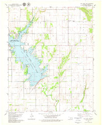
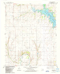
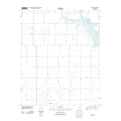
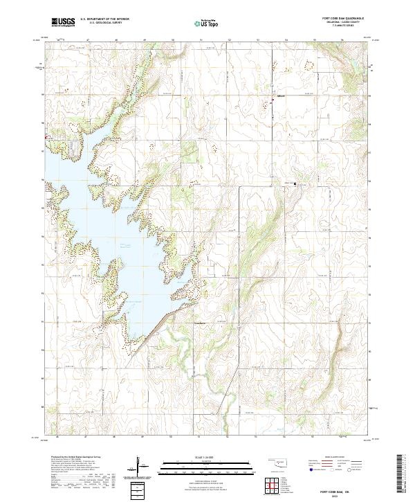 2022 Fort Cobb Dam2022 Print · USGSCaddo County's lake-front landscape is captured here in the early twenty-first century as the waters of Fort Cobb Reservoir shape the local geography. Researchers can find the rural community of Albert and its Albert Cem, or trace the winding shoreline of Marina Cove and the uniquely named Nowhere.
 - 2022 Map of Alfalfa, 2022 Print
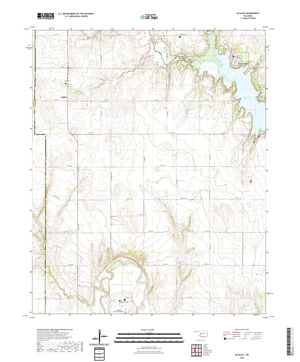 2022 Alfalfa2022 Print · USGSCaddo and Washita counties meet at the rural settlement of Alfalfa during the late twenty-teens. Researchers can trace land tracts and lineage through Alfalfa Cem, Botone Cem, and the shifting banks of the Washita River.
End of results
Showing maps 1-17 of 17
Top cities near Crow Roost
- Anadarko historical maps
- Hinton historical maps
- Carnegie historical maps
- Fort Cobb historical maps
- Binger historical maps
- Eakly historical maps
See more
Frequently asked questions
- What are the different types of historical maps available for Crow Roost?
- What is the oldest map of Crow Roost?
- Where can I purchase historical maps of Crow Roost for my home or office?
- Where can I download high-res historical maps of Crow Roost?
- Are there historical topographic maps available for Crow Roost?
- Is there historical aerial imagery available for Crow Roost?
- Where are historical maps of Crow Roost sourced from?