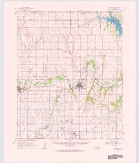
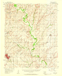
1961 Map of Carnegie
USGS Topo · Published 1963About this map
The Chicago Rock Island and Pacific railroad forms the industrial backbone of this landscape, tracking the meandering course of the Washita River through the heart of Caddo and Washita counties. Centered on the town of Carnegie, the area shows a transition from the agricultural plains to the northern edges of the Saddle Mountains, including Zodletone Mountain. This 1961 field-checked survey documents a complex cultural landscape of tribal history and rural settlement, marked by the Old Indian Treaty Boundary and several tribal burial grounds like Daugomah Cem and Botone Cem.
Find a feature on this map
61 named features on this map. Tap any name to fly to it.
Don’t see what you’re looking for? This feature index may not catch every label — zoom into the map to look around manually.
Map Details
Editions of this 1961 Carnegie Map
This is the sole edition of this map. No revisions or reprints were ever made.
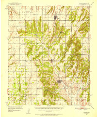
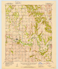
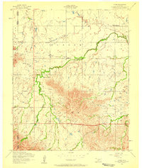
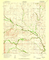
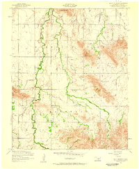
Other maps of this area
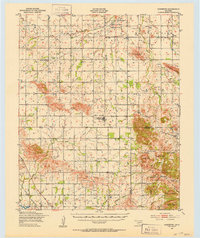
1949 · Cooperton
USGS Topo · 1:62,500

1950 · Saddle Mountain
USGS Topo · 1:62,500
1951 · Binger
USGS Topo · 1:62,500
1951 · Fort Cobb
USGS Topo · 1:62,500

1955 · Lawton
USGS Topo · 1:250,000

1955 · Clinton
USGS Topo · 1:250,000
1956 · Cordell
USGS Topo · 1:62,500
1956 · Alden
USGS Topo · 1:24,000
1956 · Boone
USGS Topo · 1:24,000
1956 · Bally Mountain
USGS Topo · 1:24,000