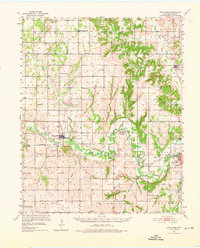
1951 Map of Fort Cobb
USGS Topo · Published 1976About this map
The Washita River creates a meandering corridor through Caddo County, Oklahoma, defining the valley's development and transport networks during the early 1950s. The Chicago Rock Island and Pacific railroad parallels this watercourse, connecting the established town of Fort Cobb with smaller rail-side locations like Washita and the junction at Apache Wye. The landscape is notably dotted with institutions that reflect the region's cultural history, including the St Patricks Indian Mission and the Riverside Indian Sch near the eastern edge.
Find a feature on this map
54 named features on this map. Tap any name to fly to it.
Don’t see what you’re looking for? This feature index may not catch every label — zoom into the map to look around manually.
Map Details
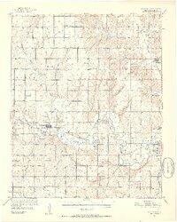
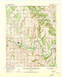
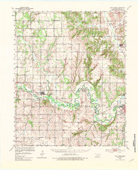
Editions of this 1951 Fort Cobb Map
5 editions found
Other maps of this area

1893 · Buggy Creek
USGS Topo · 1:62,500

1945 · Anadarko
USGS Topo · 1:62,500

1949 · Cement
USGS Topo · 1:62,500

1950 · Saddle Mountain
USGS Topo · 1:62,500

1951 · Binger
USGS Topo · 1:62,500

1951 · Fort Cobb
USGS Topo · 1:62,500

1955 · Lawton
USGS Topo · 1:250,000

1955 · Clinton
USGS Topo · 1:250,000

1956 · Alden
USGS Topo · 1:24,000

1956 · Boone
USGS Topo · 1:24,000