
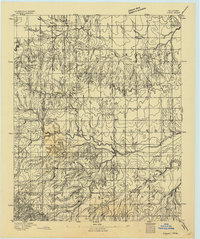
1949 Map of Fort Reno
USGS Topo · Published 1949About this map
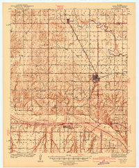
Fort Reno Military Reservation anchors the southeastern landscape of this Canadian County survey, serving as a hub of institutional and military activity in the late 1930s. The map illustrates a transitional era where traditional tribal lands, established schools, and new state facilities converged along the North Canadian River. The area around Concho is notably dense with history, featuring the Cheyenne and Arapaho Agricultural School and the Darlington State Game Farm.
Find a feature on this map
55 named features on this map. Tap any name to fly to it.
Don’t see what you’re looking for? This feature index may not catch every label — zoom into the map to look around manually.
Map Details
Editions of this 1949 Fort Reno Map
This is the sole edition of this map. No revisions or reprints were ever made.
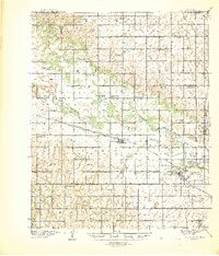
Other maps of this area

1892 · Kingfisher
USGS Topo · 1:125,000

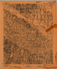
1893 · Fort Reno
USGS Topo · 1:62,500
1893 · Buggy Creek
USGS Topo · 1:62,500
1893 · Minco
USGS Topo · 1:62,500
1893 · Loyal
USGS Topo · 1:62,500

1895 · Kingfisher
USGS Topo · 1:125,000

1904 · Chickasha
USGS Topo · 1:125,000
1941 · Fort Reno
USGS Topo · 1:62,500

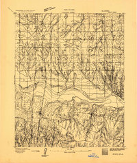
1942 · Fort Reno
USGS Topo · 1:62,500
1942 · Geary
USGS Topo · 1:62,500