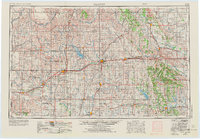
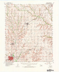
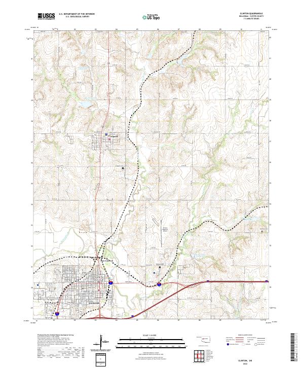
1957 Map of Clinton
USGS Topo · Published 1957About this map
Cheyenne Indian Reservation lands dominate the eastern portion of this West Oklahoma landscape during the mid-1950s, a period marked by the expansion of water infrastructure and energy production. The winding course of the Canadian River and its various forks define the topography, while the emergence of Foss Reservoir and Lake Hobart illustrates the era's focus on regional water management. Local life is anchored by an extensive network of rural institutions, such as the Riverside Indian School Reserve and several family-named landmarks like the Swapping Back Indian School and Hebron Church.
Find a feature on this map
234 named features on this map. Tap any name to fly to it.
Don’t see what you’re looking for? This feature index may not catch every label — zoom into the map to look around manually.
Map Details
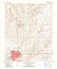
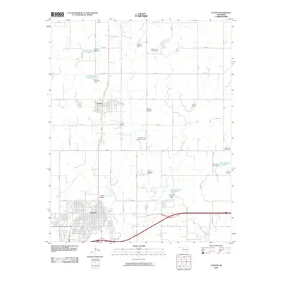
Editions of this 1957 Clinton Map
This is the sole edition of this map. No revisions or reprints were ever made.
Historical Maps of El Reno Through Time
9 maps found