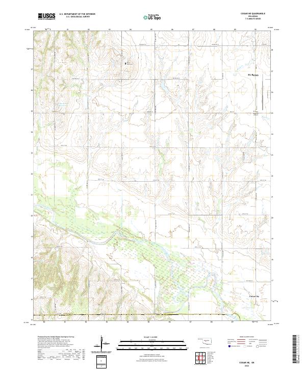
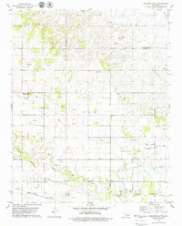
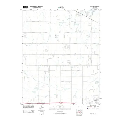
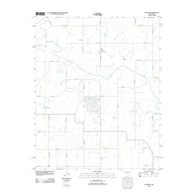
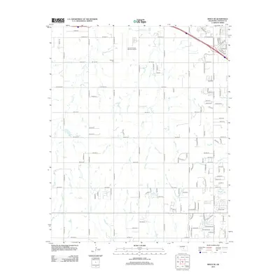
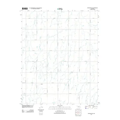
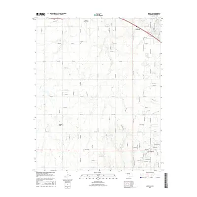
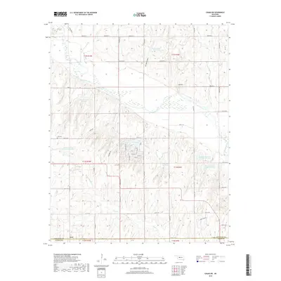
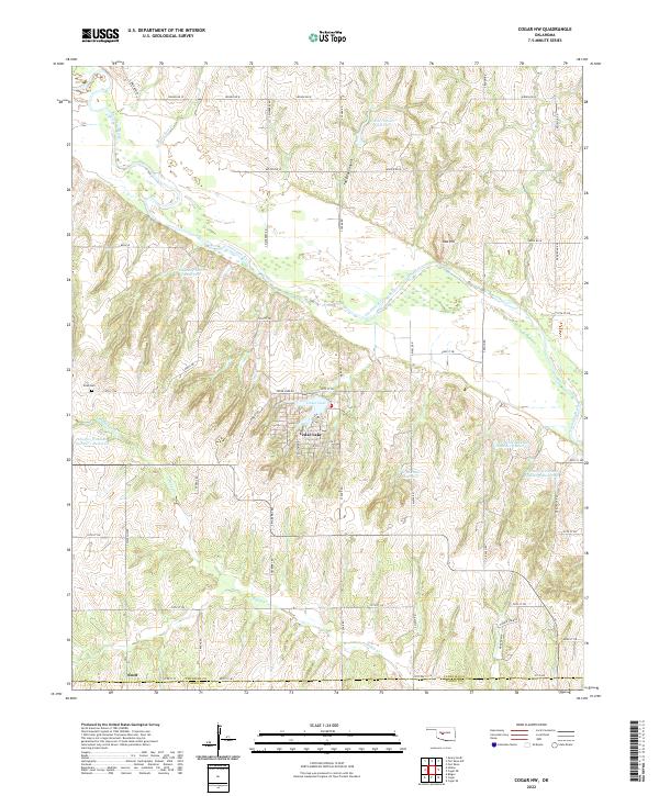
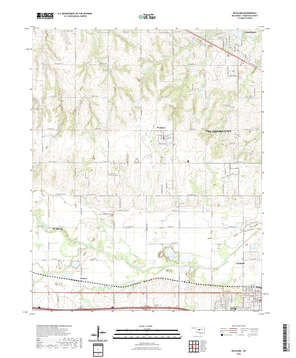
2022 Map of Cogar NE
USGS Topo · Published 2022About this map
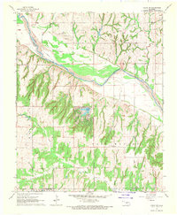
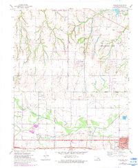
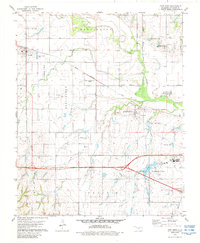
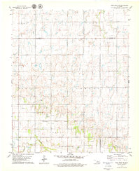
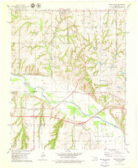
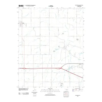
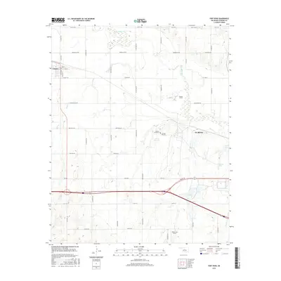
Canadian River bottomlands and the sprawling agricultural grid of Canadian County define this landscape south of El Reno. The terrain is marked by a network of sectional roads like S Courtney Rd and S Brandley Rd, which connect remote farmsteads and rural landmarks. In the northern section, the Buena Vista Cem remains a primary point of interest for genealogists, while the Wayne Reuter Reservoir serves as a significant local water feature. The southern portion of the map transition into the outskirts of Union City, where the river's path creates a complex wetland environment. This modern survey demonstrates the persistence of the original land survey system, with township and range lines like t11n r9w still governing the local geography and property boundaries across the Oklahoma plains.
Find a feature on this map
38 named features on this map. Tap any name to fly to it.
Don’t see what you’re looking for? This feature index may not catch every label — zoom into the map to look around manually.
Map Details
Editions of this 2022 Cogar NE Map
This is the sole edition of this map. No revisions or reprints were ever made.
Historical Maps of El Reno Through Time
65 maps found
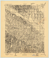
1893 Cogar
Canadian County, OK

1893 Fort Reno
Canadian County, OK
1941 Fort Reno
Canadian County, OK

1942 Fort Reno
Canadian County, OK

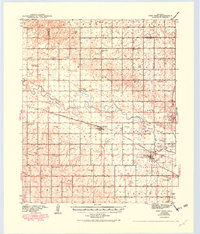
1949 Fort Reno
Canadian County, OK
1966 Minco NE
Canadian County, OK
1967 Cogar NW
Canadian County, OK
1967 Fort Reno SW
Canadian County, OK
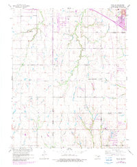
1968 Cogar NE
Canadian County, OK
1972 El Reno NE
Canadian County, OK
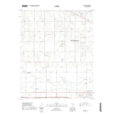
1972 Richland
Canadian County, OK
1979 Fort Reno
Canadian County, OK
1979 Fort Reno NE
Canadian County, OK
1979 Geary South
Canadian County, OK
1979 Porcupine Butte
Canadian County, OK
2009 Cogar NE
Canadian County, OK
2009 Cogar NW
Canadian County, OK
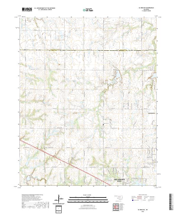
2009 El Reno NE
Canadian County, OK
2009 Fort Reno
Canadian County, OK
2009 Fort Reno SW
Canadian County, OK
2009 Minco NE
Canadian County, OK
2009 Porcupine Butte
Canadian County, OK
2009 Richland
Canadian County, OK
2010 Fort Reno NE
Canadian County, OK
2010 Geary South
Canadian County, OK
2012 Cogar NE
Canadian County, OK
2012 Cogar NW
Canadian County, OK
2012 Fort Reno
Canadian County, OK
2012 Fort Reno SW
Canadian County, OK
2012 Geary South
Canadian County, OK
2012 Minco NE
Canadian County, OK
2012 Porcupine Butte
Canadian County, OK
2012 Richland
Canadian County, OK
2013 El Reno NE
Canadian County, OK
2013 Fort Reno NE
Canadian County, OK
2016 Cogar NE
Canadian County, OK
2016 Cogar NW
Canadian County, OK
2016 El Reno NE
Canadian County, OK
2016 Fort Reno
Canadian County, OK
2016 Fort Reno NE
Canadian County, OK
2016 Fort Reno SW
Canadian County, OK
2016 Geary South
Canadian County, OK
2016 Minco NE
Canadian County, OK
2016 Porcupine Butte
Canadian County, OK
2016 Richland
Canadian County, OK
2018 Cogar NE
Canadian County, OK
2018 Cogar NW
Canadian County, OK
2018 El Reno NE
Canadian County, OK
2018 Fort Reno
Canadian County, OK
2018 Fort Reno NE
Canadian County, OK
2018 Fort Reno SW
Canadian County, OK
2018 Geary South
Canadian County, OK
2018 Minco NE
Canadian County, OK
2018 Porcupine Butte
Canadian County, OK
2018 Richland
Canadian County, OK
2022 Cogar NE
Canadian County, OK
2022 Cogar NW
Canadian County, OK
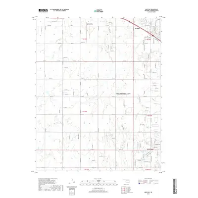
2022 El Reno NE
Canadian County, OK
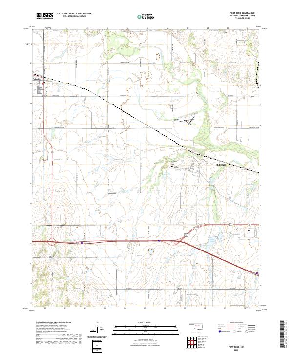
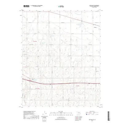
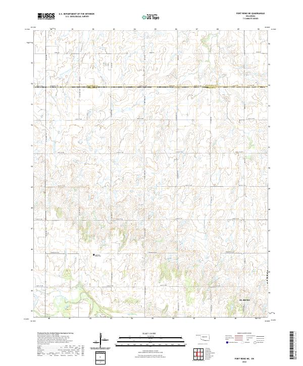
2022 Fort Reno
Canadian County, OK
2022 Fort Reno NE
Canadian County, OK
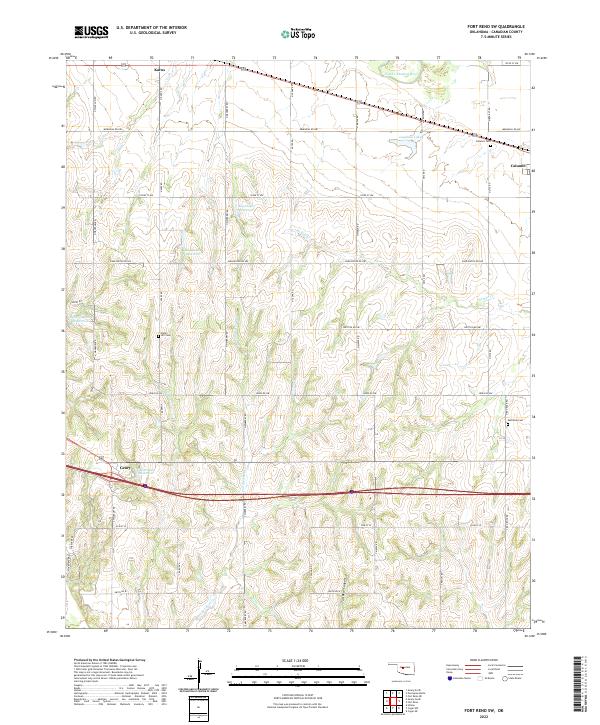
2022 Fort Reno SW
Canadian County, OK

2022 Geary South
Canadian County, OK
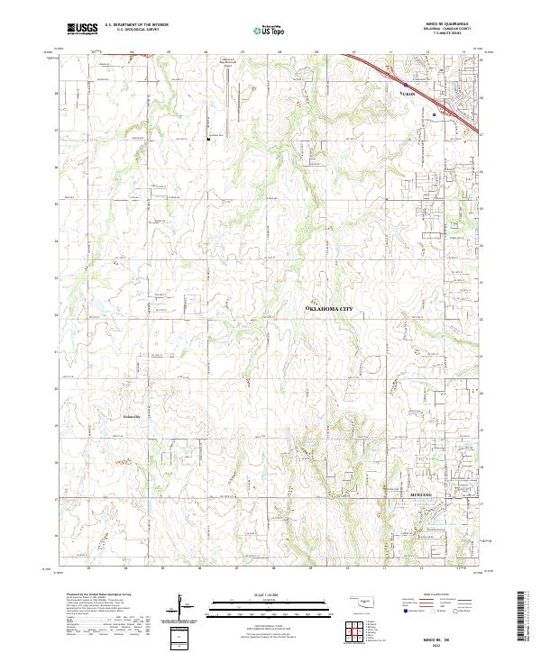
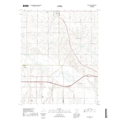
2022 Minco NE
Canadian County, OK
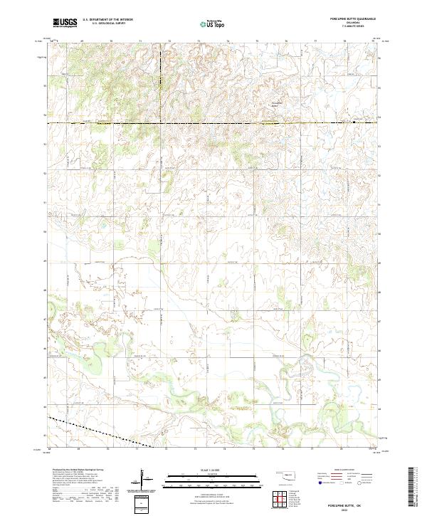
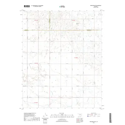
2022 Porcupine Butte
Canadian County, OK
2022 Richland
Canadian County, OK