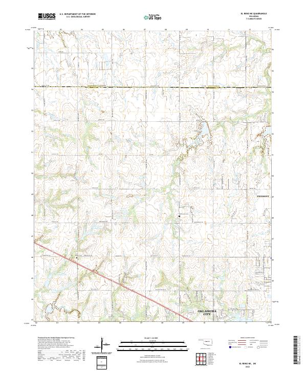
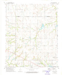
2022 Map of El Reno NE
USGS Topo · Published 2022About this map
Piedmont serves as a primary anchor in this region where the suburban expansion of Oklahoma City meets the agricultural plains of the Kingfisher and Canadian county line. The landscape is defined by a sophisticated water management system of named catchments and reservoirs, such as the Isabel Loosen Rein Reservoir and the M L McLain Reservoir, which support the local farm economy. These water bodies, along with Uncle Johns Creek, drain the undulating terrain that transitions from open prairie to structured residential blocks. Historical markers of the early rural community remain visible through the Mathewson Cem and Palmer Cem, providing essential points of reference for genealogists tracking early families in this part of Oklahoma. The dense network of section line roads, including Cimarron Rd NW and Banner Rd NW, illustrates the enduring influence of the Public Land Survey System on modern transportation and land division.
Find a feature on this map
84 named features on this map. Tap any name to fly to it.
Don’t see what you’re looking for? This feature index may not catch every label — zoom into the map to look around manually.
Map Details
Editions of this 2022 El Reno NE Map
This is the sole edition of this map. No revisions or reprints were ever made.
Other maps of this area

1892 · Kingfisher
USGS Topo · 1:125,000

1895 · Kingfisher
USGS Topo · 1:125,000

1954 · Oklahoma City
USGS Topo · 1:250,000

1957 · Oklahoma City
USGS Topo · 1:250,000

1963 · Oklahoma City
USGS Topo · 1:250,000
1966 · Bethany
USGS Topo · 1:24,000

1966 · Piedmont
USGS Topo · 1:24,000
1970 · Cashion
USGS Topo · 1:24,000
1972 · Kingfisher SE
USGS Topo · 1:24,000
1972 · El Reno NE
USGS Topo · 1:24,000