
1966 Map of Piedmont
USGS Topo · Published 1967About this map
The town of Piedmont sits at the western edge of this mid-1960s landscape, where Canadian, Kingfisher, Logan, and Oklahoma counties meet. The survey documents the expansion of Oklahoma City corporate boundaries into the rural prairie, encroaching upon established agricultural terrain like Mathewson and Downs. Central to the area’s economy is the West Edmond Oil and Gas Field, which spans the eastern portion of the map with its network of infrastructure.
Find a feature on this map
27 named features on this map. Tap any name to fly to it.
Don’t see what you’re looking for? This feature index may not catch every label — zoom into the map to look around manually.
Map Details
Editions of this 1966 Piedmont Map
3 editions found
Other maps of this area

1892 · Kingfisher
USGS Topo · 1:125,000

1895 · Kingfisher
USGS Topo · 1:125,000

1951 · Britton
USGS Topo · 1:24,000

1954 · Oklahoma City
USGS Topo · 1:250,000

1957 · Oklahoma City
USGS Topo · 1:250,000

1963 · Oklahoma City
USGS Topo · 1:250,000
1966 · Bethany
USGS Topo · 1:24,000
1966 · Bethany NE
USGS Topo · 1:24,000
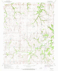
1970 · Navina
USGS Topo · 1:24,000
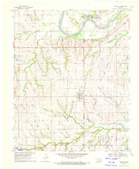
1970 · Cashion
USGS Topo · 1:24,000
Featured Places
- Oklahoma City, OK
- Piedmont, OK
- Sportsman's Lake Estates II, OK
- Sportsman's Lake Estates I, OK
- Oklahoma County, OK