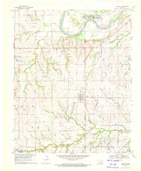
1970 Map of Cashion
USGS Topo · Published 1972About this map
The Cimarron River meanders across the northern boundary of this Oklahoma landscape, defining the border between Kingfisher and Logan Counties. In the early 1970s, the region was heavily shaped by petroleum extraction, as evidenced by the expansive Sooner Trend Oil Field and the Edmond Spring Creek Field. The town of Cashion serves as a central hub, showing a grid of streets adjacent to the Railroad and a series of Sewage Disposal Ponds.
Find a feature on this map
23 named features on this map. Tap any name to fly to it.
Don’t see what you’re looking for? This feature index may not catch every label — zoom into the map to look around manually.
Map Details
Editions of this 1970 Cashion Map
2 editions found
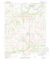
Other maps of this area

1892 · Kingfisher
USGS Topo · 1:125,000

1895 · Kingfisher
USGS Topo · 1:125,000

1954 · Oklahoma City
USGS Topo · 1:250,000

1957 · Oklahoma City
USGS Topo · 1:250,000

1963 · Oklahoma City
USGS Topo · 1:250,000
1966 · Bethany NE
USGS Topo · 1:24,000

1966 · Piedmont
USGS Topo · 1:24,000
1969 · Crescent NW
USGS Topo · 1:24,000
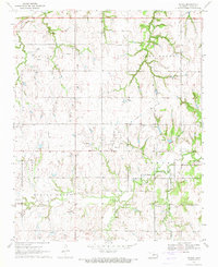
1970 · Navina
USGS Topo · 1:24,000
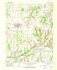
1970 · Crescent
USGS Topo · 1:24,000