
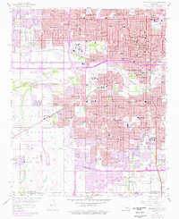
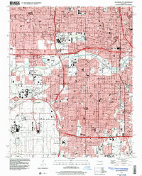
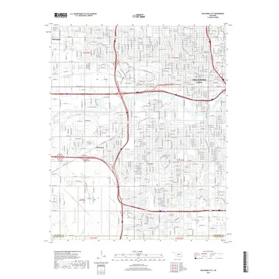
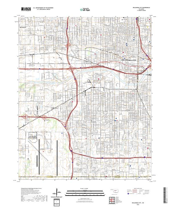
1963 Map of Oklahoma City
USGS Topo · Published 1963About this map
Oklahoma City serves as the focal point of this regional landscape, radiating outward into a network of mid-century industrial and military development. The map prominently features major defense installations including Tinker Air Force Base and the Naval Air Tech Training Center, reflecting the era's significant military footprint. The geography is defined by the winding courses of the Cimarron River and the North Canadian River, while the presence of numerous oil wells across the plains underscores the region's mineral wealth.
Find a feature on this map
66 named features on this map. Tap any name to fly to it.
Don’t see what you’re looking for? This feature index may not catch every label — zoom into the map to look around manually.
Map Details
Editions of this 1963 Oklahoma City Map
This is the sole edition of this map. No revisions or reprints were ever made.
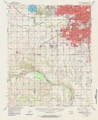
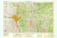
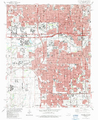
Historical Maps of Oklahoma City Through Time
13 maps found

1893 Oklahoma City
Oklahoma County, OK

1954 Oklahoma City
Oklahoma County, OK
1956 Oklahoma City
Oklahoma County, OK
1956 Oklahoma City
Oklahoma County, OK
1957 Oklahoma City
Oklahoma County, OK
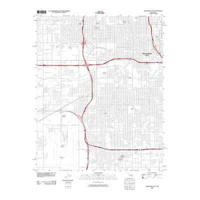
1963 Oklahoma City
Oklahoma County, OK
1986 Oklahoma City
Oklahoma County, OK
1995 Oklahoma City
Oklahoma County, OK
2009 Oklahoma City
Oklahoma County, OK
2012 Oklahoma City
Oklahoma County, OK
2016 Oklahoma City
Oklahoma County, OK
2018 Oklahoma City
Oklahoma County, OK
2022 Oklahoma City
Oklahoma County, OK