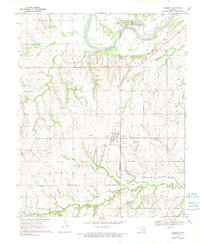
1970 Map of Cashion
USGS Topo · Published 1991About this map
The town of Cashion serves as a central hub on this 1970s landscape, positioned along the border of Kingfisher Co Logan Co. The map reveals a region defined by its energy production and agricultural drainage, specifically within the sprawling Sooner Trend Oil Field. Numerous Oil Well and Oil Wells are scattered across the terrain, reflecting the industrial character of the Oklahoma prairie during this era.
Find a feature on this map
21 named features on this map. Tap any name to fly to it.
Don’t see what you’re looking for? This feature index may not catch every label — zoom into the map to look around manually.
Map Details
Editions of this 1970 Cashion Map
2 editions found
Other maps of this area

1892 · Kingfisher
USGS Topo · 1:125,000

1895 · Kingfisher
USGS Topo · 1:125,000

1954 · Oklahoma City
USGS Topo · 1:250,000

1957 · Oklahoma City
USGS Topo · 1:250,000

1963 · Oklahoma City
USGS Topo · 1:250,000
1966 · Bethany NE
USGS Topo · 1:24,000

1966 · Piedmont
USGS Topo · 1:24,000
1969 · Crescent NW
USGS Topo · 1:24,000
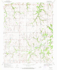
1970 · Navina
USGS Topo · 1:24,000
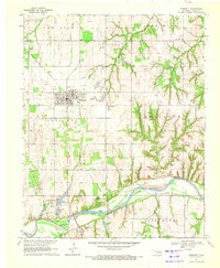
1970 · Crescent
USGS Topo · 1:24,000