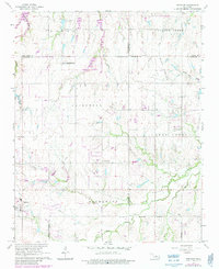
1966 Map of Piedmont
USGS Topo · Published 1983About this map
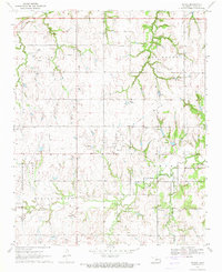
Piedmont serves as the focal point of this Oklahoma landscape, which straddles the junction of Canadian, Kingfisher, Logan, and Oklahoma Counties. The 1960s terrain, updated in the early 1980s, reveals a rural grid system defined by thoroughfares like Sara Road and Council Road. Historically significant markers such as Lockridge Cem and Kansas Cem provide critical touchpoints for genealogical research, while the presence of the High Sch in town centers local activity.
Find a feature on this map
31 named features on this map. Tap any name to fly to it.
Don’t see what you’re looking for? This feature index may not catch every label — zoom into the map to look around manually.
Map Details
Editions of this 1966 Piedmont Map
3 editions found
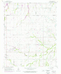
Other maps of this area

1892 · Kingfisher
USGS Topo · 1:125,000

1895 · Kingfisher
USGS Topo · 1:125,000

1951 · Britton
USGS Topo · 1:24,000

1954 · Oklahoma City
USGS Topo · 1:250,000

1957 · Oklahoma City
USGS Topo · 1:250,000

1963 · Oklahoma City
USGS Topo · 1:250,000
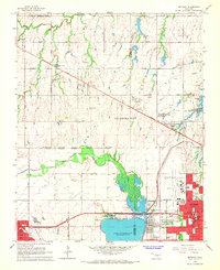
1966 · Bethany
USGS Topo · 1:24,000
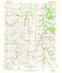
1966 · Bethany NE
USGS Topo · 1:24,000

1966 · Piedmont
USGS Topo · 1:24,000
1970 · Navina
USGS Topo · 1:24,000
Featured Places
- Oklahoma City, OK
- Piedmont, OK
- Sportsman's Lake Estates II, OK
- Sportsman's Lake Estates I, OK
- Oklahoma County, OK