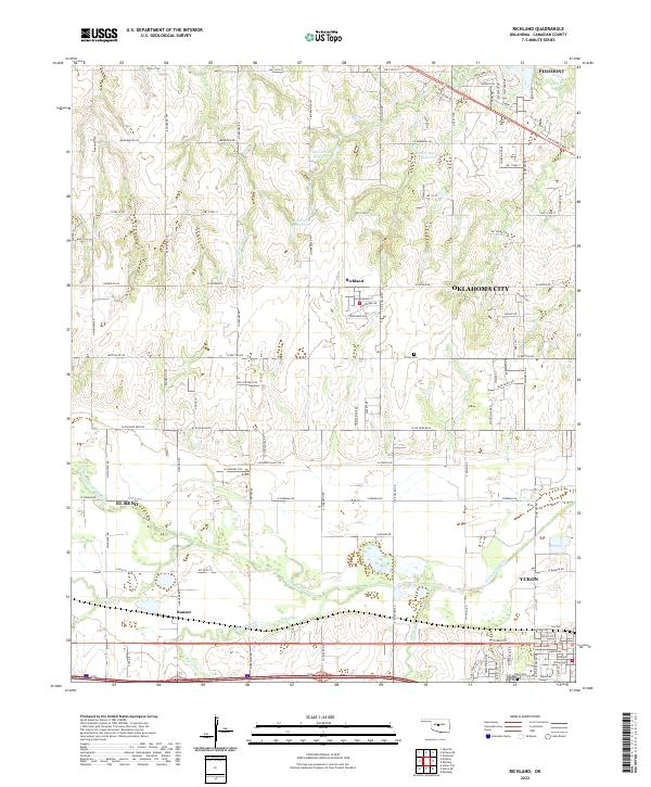
2022 Map of Richland
USGS Topo · Published 2022About this map
The N Canadian River flows across this Canadian County landscape, anchoring a rural geography where the expansion of Oklahoma City meets long-established farming communities. Small agricultural centers like Richland and Banner maintain their identity amidst a network of section-line roads and creek drainages. The area is dotted with local water management features including Bill Garms Reservoir and Brown-McClure Reservoir, which reflect the region's reliance on managed water sources for its prairie environment.
Find a feature on this map
104 named features on this map. Tap any name to fly to it.
Don’t see what you’re looking for? This feature index may not catch every label — zoom into the map to look around manually.
Map Details
Editions of this 2022 Richland Map
This is the sole edition of this map. No revisions or reprints were ever made.
Other maps of this area

1892 · Kingfisher
USGS Topo · 1:125,000

1893 · Oklahoma City
USGS Topo · 1:62,500

1893 · Minco
USGS Topo · 1:62,500

1895 · Kingfisher
USGS Topo · 1:125,000

1904 · Chickasha
USGS Topo · 1:125,000

1954 · Oklahoma City
USGS Topo · 1:250,000

1956 · Oklahoma City
USGS Topo · 1:62,500

1957 · Oklahoma City
USGS Topo · 1:250,000

1963 · Oklahoma City
USGS Topo · 1:250,000
1966 · Minco NE
USGS Topo · 1:24,000