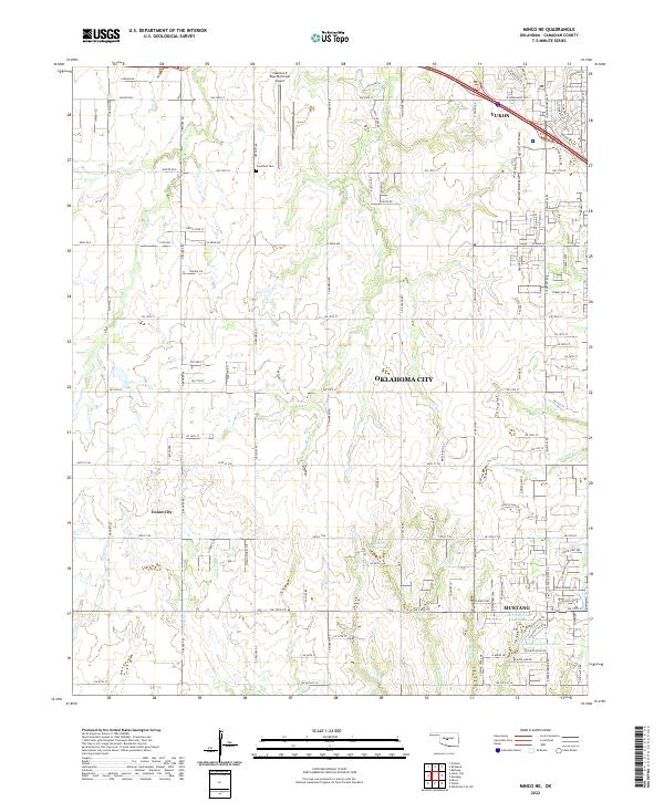
2022 Map of Minco NE
USGS Topo · Published 2022About this map
Union City and the western reaches of Mustang define this landscape on the outskirts of the state capital. The map traces the dense grid of residential expansion and rural roads between Yukon and Oklahoma City, where traditional section-line roads like Reuter Rd E and W Reno Ave cross over a drainage network including Shell Cr and Purcell Cr. Family and community history is anchored by the Forehand Cem north of the central corridor and the aviation footprint of the Clarence E Page Municipal Airport.
Find a feature on this map
122 named features on this map. Tap any name to fly to it.
Don’t see what you’re looking for? This feature index may not catch every label — zoom into the map to look around manually.
Map Details
Editions of this 2022 Minco NE Map
This is the sole edition of this map. No revisions or reprints were ever made.
Other maps of this area

1892 · Kingfisher
USGS Topo · 1:125,000

1893 · Oklahoma City
USGS Topo · 1:62,500

1893 · Minco
USGS Topo · 1:62,500

1895 · Kingfisher
USGS Topo · 1:125,000

1904 · Chickasha
USGS Topo · 1:125,000

1954 · Oklahoma City
USGS Topo · 1:250,000

1956 · Oklahoma City
USGS Topo · 1:62,500

1957 · Oklahoma City
USGS Topo · 1:250,000

1963 · Oklahoma City
USGS Topo · 1:250,000
1965 · Oklahoma City SW
USGS Topo · 1:24,000