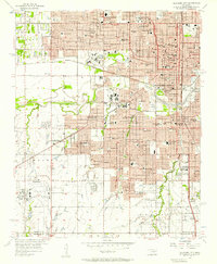
1965 Map of Oklahoma City SW
USGS Topo · Published 1967About this map
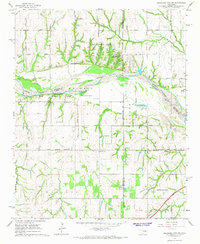
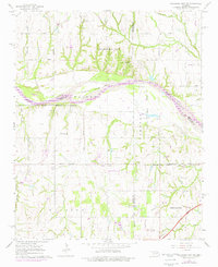
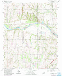
The Canadian River serves as the primary geographical divider in this mid-1960s landscape, winding between the expanding corporate boundaries of Oklahoma City, Tuttle, and Newcastle. The map reveals a transition from traditional rural land use to early suburban and industrial expansion, marked by a network of sectional roads like Sara Road, Czech Hall Road, and Mustang Road. Local community life is anchored by landmarks such as Snow Hill Ch, the Pentecostal Campground, and Camp Kickapoo.
Find a feature on this map
38 named features on this map. Tap any name to fly to it.
Don’t see what you’re looking for? This feature index may not catch every label — zoom into the map to look around manually.
Map Details
Editions of this 1965 Oklahoma City SW Map
3 editions found
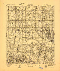
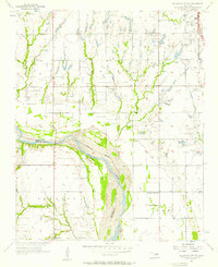
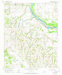
Other maps of this area

1893 · Oklahoma City
USGS Topo · 1:62,500
1893 · Minco
USGS Topo · 1:62,500

1904 · Chickasha
USGS Topo · 1:125,000

1954 · Oklahoma City
USGS Topo · 1:250,000
1956 · Oklahoma City
USGS Topo · 1:24,000

1956 · Oklahoma City
USGS Topo · 1:62,500
1956 · Oklahoma City SE
USGS Topo · 1:24,000

1957 · Oklahoma City
USGS Topo · 1:250,000

1963 · Oklahoma City
USGS Topo · 1:250,000
1965 · Newcastle
USGS Topo · 1:24,000