
1956 Map of Oklahoma City SE
USGS Topo · Published 1957About this map
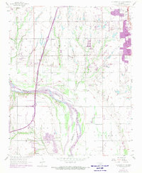
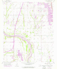
The Canadian River meanders through the heart of this mid-1950s landscape, defining the shifting boundary between Cleveland and McClain counties. This era reveals a region poised between its agricultural roots and burgeoning aviation and industrial activity. South of Moore, the landscape is dotted with early oil infrastructure, including a prominent Oil Field and numerous Oil Wells. The aviation footprint is notably dense, featuring the Will Rogers Municipal Airport, the Country Club Airport, and the South Shields Landing Field, reflecting the importance of flight to the Oklahoma City metropolitan fringe.
Find a feature on this map
26 named features on this map. Tap any name to fly to it.
Don’t see what you’re looking for? This feature index may not catch every label — zoom into the map to look around manually.
Map Details
Editions of this 1956 Oklahoma City SE Map
3 editions found
Other maps of this area

1892 · Moore
USGS Topo · 1:62,500

1893 · Norman
USGS Topo · 1:62,500

1893 · Oklahoma City
USGS Topo · 1:62,500

1898 · Purcell
USGS Topo · 1:125,000

1904 · Chickasha
USGS Topo · 1:125,000

1925 · Norman NO 2
USGS Topo · 1:24,000

1934 · Crutcho Creek
USGS Topo · 1:24,000

1934 · Moore
USGS Topo · 1:62,500

1936 · Norman
USGS Topo · 1:62,500

1938 · Moore
USGS Topo · 1:62,500