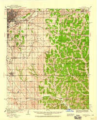
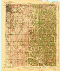
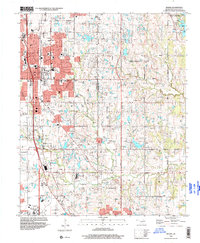
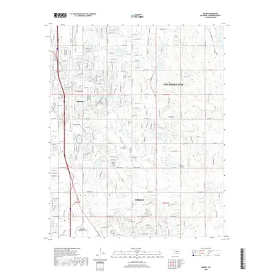
1934 Map of Moore
USGS Topo · Published 1959About this map
The Canadian River and its accompanying rail lines dominate the landscape of central Oklahoma during the mid-1930s. The bustling northwestern corner features Oklahoma City, with its dense grid of streets and specialized infrastructure like the Chicago Rock Island and Pacific and St Louis San Francisco rail yards. Moving south and east, the urban core gives way to a network of smaller farming communities and rural townships such as Bodine City, Nicoma Park, and Moore.
Find a feature on this map
61 named features on this map. Tap any name to fly to it.
Don’t see what you’re looking for? This feature index may not catch every label — zoom into the map to look around manually.
Map Details
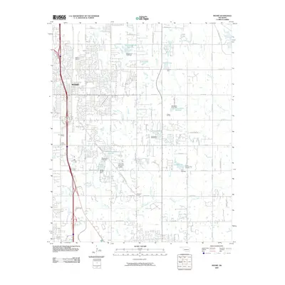
Editions of this 1934 Moore Map
This is the sole edition of this map. No revisions or reprints were ever made.
Historical Maps of Oklahoma City Through Time
11 maps found

1892 Moore
Cleveland County, OK
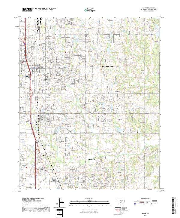
1934 Moore
Cleveland County, OK
1938 Moore
Cleveland County, OK
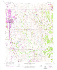
1956 Moore
Cleveland County, OK
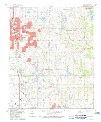
1986 Moore
Cleveland County, OK
1995 Moore
Cleveland County, OK
2009 Moore
Cleveland County, OK
2012 Moore
Cleveland County, OK
2016 Moore
Cleveland County, OK
2018 Moore
Cleveland County, OK
2022 Moore
Cleveland County, OK