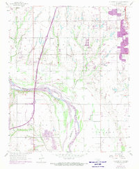
1956 Map of Oklahoma City SE
USGS Topo · Published 1970About this map
The Canadian River carves a broad valley through the center of this landscape, marking the boundary between Cleveland and McClain counties. To the north, the community of Moore shows significant urban expansion, while the southern reach includes the settlement of Newcastle near the Oil Field and Pipeline networks. Infrastructure is a defining characteristic here, with the H E Bailey Turnpike and its associated H E Bailey Tollgate cutting across the terrain.
Find a feature on this map
25 named features on this map. Tap any name to fly to it.
Don’t see what you’re looking for? This feature index may not catch every label — zoom into the map to look around manually.
Map Details
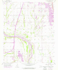
Editions of this 1956 Oklahoma City SE Map
3 editions found

Other maps of this area

1892 · Moore
USGS Topo · 1:62,500

1893 · Norman
USGS Topo · 1:62,500

1893 · Oklahoma City
USGS Topo · 1:62,500

1898 · Purcell
USGS Topo · 1:125,000

1904 · Chickasha
USGS Topo · 1:125,000

1925 · Norman NO 2
USGS Topo · 1:24,000

1934 · Crutcho Creek
USGS Topo · 1:24,000

1934 · Moore
USGS Topo · 1:62,500

1936 · Norman
USGS Topo · 1:62,500

1938 · Moore
USGS Topo · 1:62,500