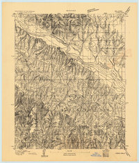
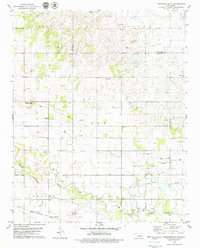
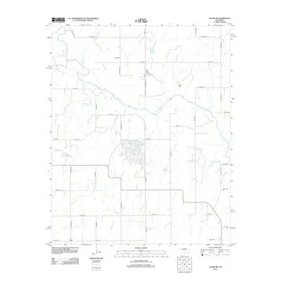
1893 Map of Cogar
USGS Topo · Published 1893About this map
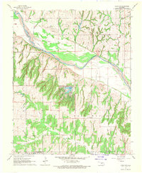
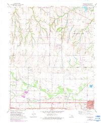
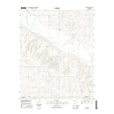
The Wichita Reservation dominates the southern landscape of this 1893 survey, showcasing a complex system of deep draws and ridges before the turn-of-the-century land openings. Life in this territory followed the natural course of the Canadian River, which serves as a major geographical divider and is flanked by the Canadian Co. Boundary Line. Settlement is sparse, represented by foundational points of contact such as the Indian Village and a Stage Stand located near the northern riverbanks.
Find a feature on this map
6 named features on this map. Tap any name to fly to it.
Don’t see what you’re looking for? This feature index may not catch every label — zoom into the map to look around manually.
Map Details
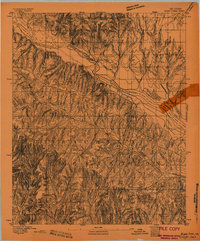
Editions of this 1893 Cogar Map
2 editions found
Historical Maps of El Reno Through Time
65 maps found
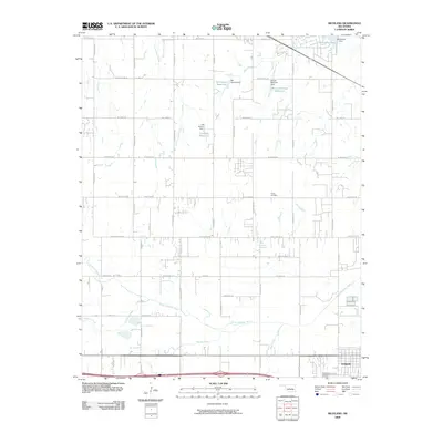
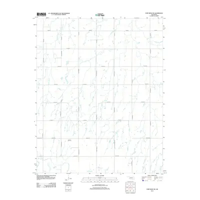
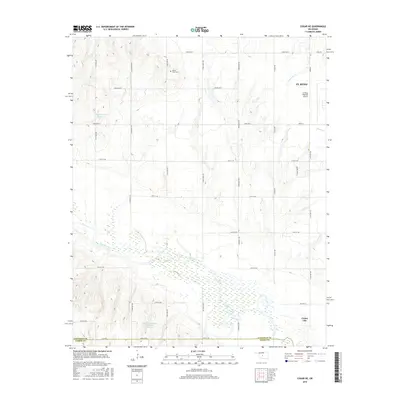
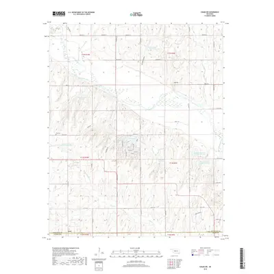
1893 Cogar
Canadian County, OK

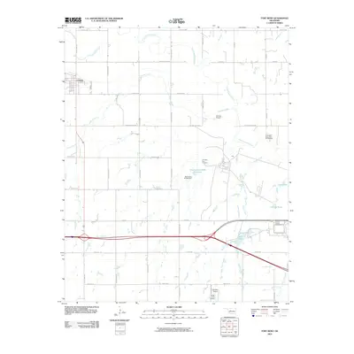
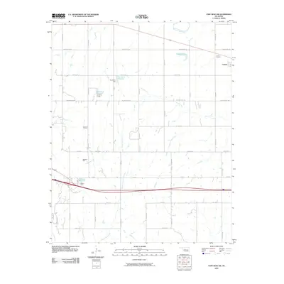
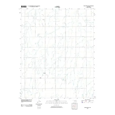
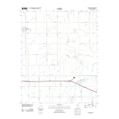
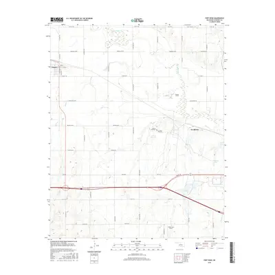
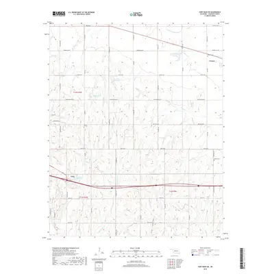
1893 Fort Reno
Canadian County, OK
1941 Fort Reno
Canadian County, OK

1942 Fort Reno
Canadian County, OK

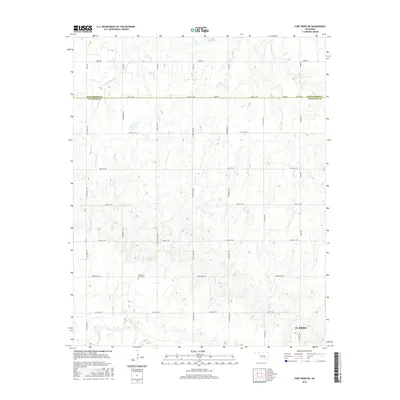
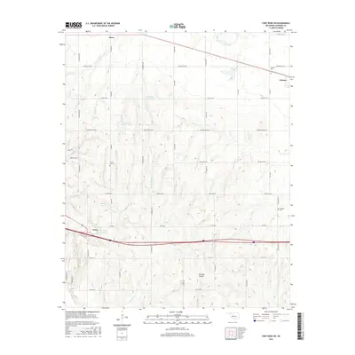
1949 Fort Reno
Canadian County, OK
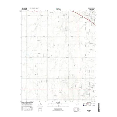
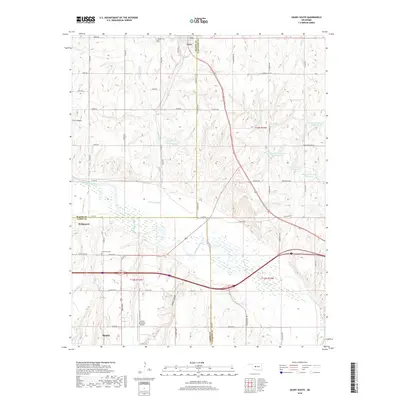
1966 Minco NE
Canadian County, OK
1967 Cogar NW
Canadian County, OK
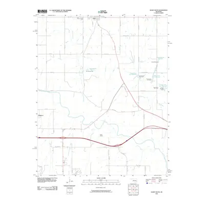
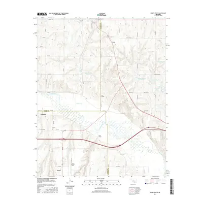
1967 Fort Reno SW
Canadian County, OK
1968 Cogar NE
Canadian County, OK
1972 El Reno NE
Canadian County, OK
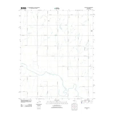
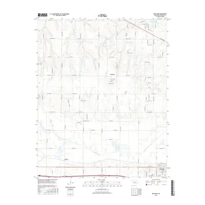
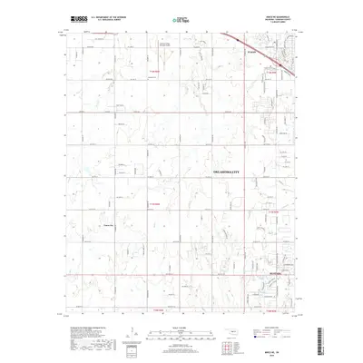
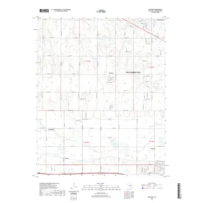
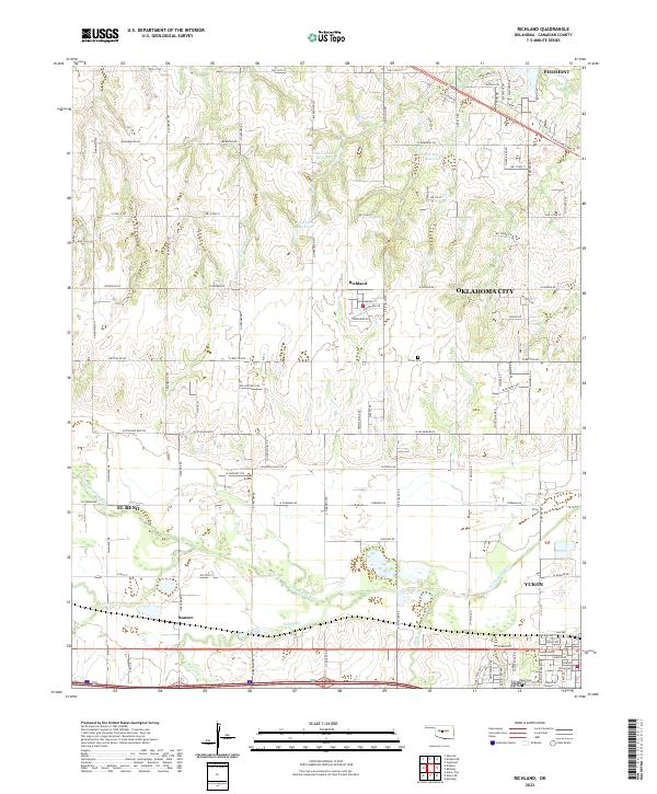
1972 Richland
Canadian County, OK
1979 Fort Reno
Canadian County, OK
1979 Fort Reno NE
Canadian County, OK
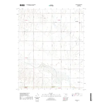
1979 Geary South
Canadian County, OK
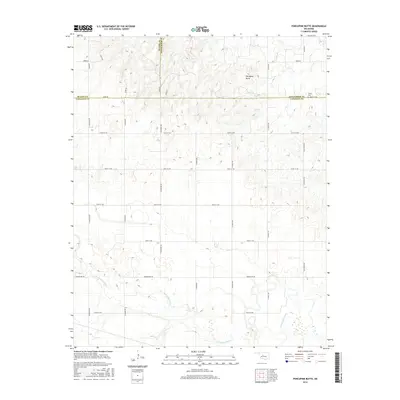
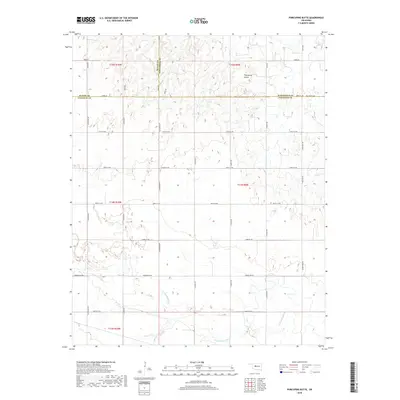
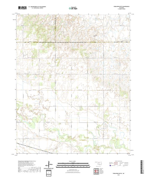
1979 Porcupine Butte
Canadian County, OK
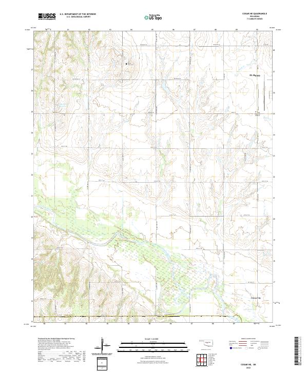
2009 Cogar NE
Canadian County, OK
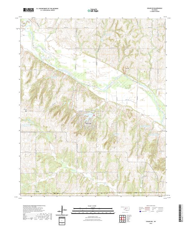
2009 Cogar NW
Canadian County, OK
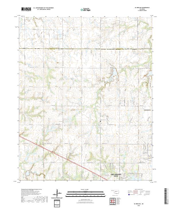
2009 El Reno NE
Canadian County, OK
2009 Fort Reno
Canadian County, OK
2009 Fort Reno SW
Canadian County, OK
2009 Minco NE
Canadian County, OK
2009 Porcupine Butte
Canadian County, OK
2009 Richland
Canadian County, OK
2010 Fort Reno NE
Canadian County, OK
2010 Geary South
Canadian County, OK
2012 Cogar NE
Canadian County, OK
2012 Cogar NW
Canadian County, OK
2012 Fort Reno
Canadian County, OK
2012 Fort Reno SW
Canadian County, OK
2012 Geary South
Canadian County, OK
2012 Minco NE
Canadian County, OK
2012 Porcupine Butte
Canadian County, OK
2012 Richland
Canadian County, OK
2013 El Reno NE
Canadian County, OK
2013 Fort Reno NE
Canadian County, OK
2016 Cogar NE
Canadian County, OK
2016 Cogar NW
Canadian County, OK
2016 El Reno NE
Canadian County, OK
2016 Fort Reno
Canadian County, OK
2016 Fort Reno NE
Canadian County, OK
2016 Fort Reno SW
Canadian County, OK
2016 Geary South
Canadian County, OK
2016 Minco NE
Canadian County, OK
2016 Porcupine Butte
Canadian County, OK
2016 Richland
Canadian County, OK
2018 Cogar NE
Canadian County, OK
2018 Cogar NW
Canadian County, OK
2018 El Reno NE
Canadian County, OK
2018 Fort Reno
Canadian County, OK
2018 Fort Reno NE
Canadian County, OK
2018 Fort Reno SW
Canadian County, OK
2018 Geary South
Canadian County, OK
2018 Minco NE
Canadian County, OK
2018 Porcupine Butte
Canadian County, OK
2018 Richland
Canadian County, OK
2022 Cogar NE
Canadian County, OK
2022 Cogar NW
Canadian County, OK
2022 El Reno NE
Canadian County, OK
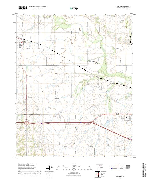
2022 Fort Reno
Canadian County, OK
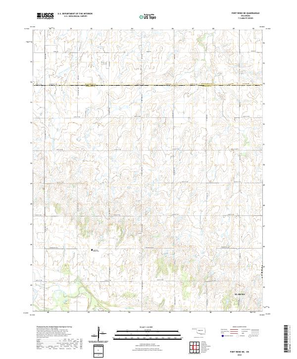
2022 Fort Reno NE
Canadian County, OK
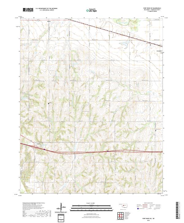
2022 Fort Reno SW
Canadian County, OK

2022 Geary South
Canadian County, OK
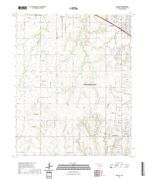
2022 Minco NE
Canadian County, OK
2022 Porcupine Butte
Canadian County, OK
2022 Richland
Canadian County, OK