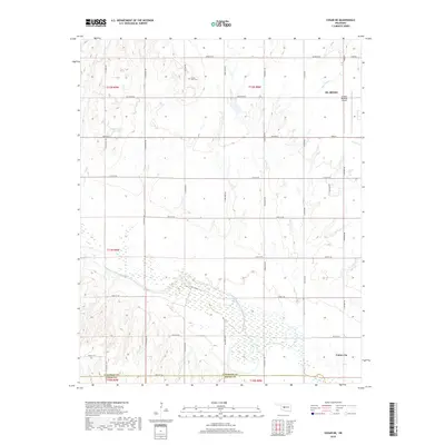
2018 Map of Cogar NE
USGS Topo · Published 2018About this map
El Reno and its regional aviation hub anchor the northeastern portion of this landscape, where the flat plains of Canadian County transition toward the southern borders of Grady and Caddo counties. The terrain is defined by the drainage patterns of Fourmile Cr and Sixmile Cr, along with the Wayne Reuter Reservoir in the northwest. A rigid grid of section line roads, including S Heaston Rd and S Fort Rend Rd, organizes the agricultural landscape, which is punctuated by small-scale community markers like Buena Vista Cem. In the southeast, the settlement of Union City sits near the intersection of several major township lines, serving as a local focal point for the surrounding rural area.
Find a feature on this map
34 named features on this map. Tap any name to fly to it.
Don’t see what you’re looking for? This feature index may not catch every label — zoom into the map to look around manually.
Map Details
Editions of this 2018 Cogar NE Map
This is the sole edition of this map. No revisions or reprints were ever made.
Other maps of this area

1892 · Kingfisher
USGS Topo · 1:125,000

1893 · Fort Reno
USGS Topo · 1:62,500

1893 · Buggy Creek
USGS Topo · 1:62,500

1893 · Minco
USGS Topo · 1:62,500

1895 · Kingfisher
USGS Topo · 1:125,000

1904 · Chickasha
USGS Topo · 1:125,000

1941 · Fort Reno
USGS Topo · 1:62,500

1942 · Fort Reno
USGS Topo · 1:62,500

1949 · Fort Reno
USGS Topo · 1:62,500

1954 · Oklahoma City
USGS Topo · 1:250,000