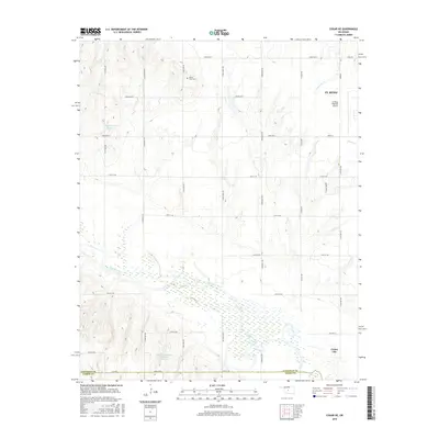
2016 Map of Cogar NE
USGS Topo · Published 2016About this map
The Canadian River meanders across this landscape south of El Reno, carving a broad basin through the plains of Canadian County. In the north, the El Reno Regional Airport and a network of section-line roads like S Calumet Rd and S Heaston Rd define the transition from town to the agricultural outskirts. This 2016 record shows a landscape managed by water control, with the Wayne Reuter Reservoir and Dave Richardson Number 1 Reservoir capturing local drainage. Genealogists and local historians can locate the Buena Vista Cem positioned in the northern uplands, while the southeastern corner of the map captures the western edge of Union City. The terrain is further defined by tributaries such as Fourmile Cr and Sixmile Cr, which feed the river system that has shaped this region since the territorial era.
Find a feature on this map
33 named features on this map. Tap any name to fly to it.
Don’t see what you’re looking for? This feature index may not catch every label — zoom into the map to look around manually.
Map Details
Editions of this 2016 Cogar NE Map
This is the sole edition of this map. No revisions or reprints were ever made.
Other maps of this area

1892 · Kingfisher
USGS Topo · 1:125,000

1893 · Fort Reno
USGS Topo · 1:62,500

1893 · Buggy Creek
USGS Topo · 1:62,500

1893 · Minco
USGS Topo · 1:62,500

1895 · Kingfisher
USGS Topo · 1:125,000

1904 · Chickasha
USGS Topo · 1:125,000

1941 · Fort Reno
USGS Topo · 1:62,500

1942 · Fort Reno
USGS Topo · 1:62,500

1949 · Fort Reno
USGS Topo · 1:62,500

1954 · Oklahoma City
USGS Topo · 1:250,000