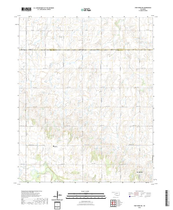
2022 Map of Fort Reno NE
USGS Topo · Published 2022About this map
N Canadian River meanders across the southern boundary of this survey, marking a low-lying contrast to the upland agricultural grid that defines the landscape of Canadian Co. North of the river, the northwestern outskirts of El Reno begin to emerge, while the northern extent of the quadrangle crosses into Kingfisher Co. The terrain is defined by the drainage of Winter Camp Cr, which carves a northward path through the western townships. This predominantly rural area is organized around a strictly rectilinear road network including Country Line and Co Line Rd. Local heritage is anchored at the Canadian Valley Cem, a key landmark for genealogical research situated amidst the agricultural sections of Township 14 North, Range 8 West.
Find a feature on this map
34 named features on this map. Tap any name to fly to it.
Don’t see what you’re looking for? This feature index may not catch every label — zoom into the map to look around manually.
Map Details
Editions of this 2022 Fort Reno NE Map
This is the sole edition of this map. No revisions or reprints were ever made.
Other maps of this area

1892 · Kingfisher
USGS Topo · 1:125,000

1893 · Fort Reno
USGS Topo · 1:62,500

1893 · Loyal
USGS Topo · 1:62,500

1895 · Kingfisher
USGS Topo · 1:125,000

1941 · Fort Reno
USGS Topo · 1:62,500

1942 · Fort Reno
USGS Topo · 1:62,500

1949 · Fort Reno
USGS Topo · 1:62,500

1954 · Oklahoma City
USGS Topo · 1:250,000

1955 · Clinton
USGS Topo · 1:250,000

1957 · Clinton
USGS Topo · 1:250,000