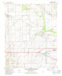
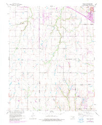
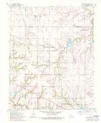
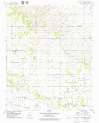
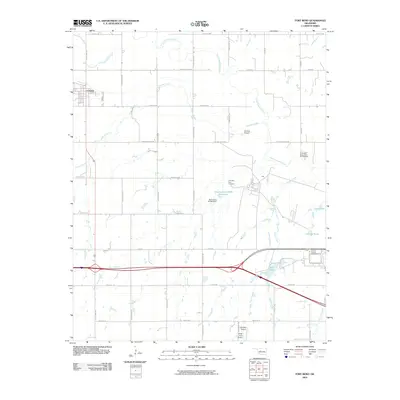
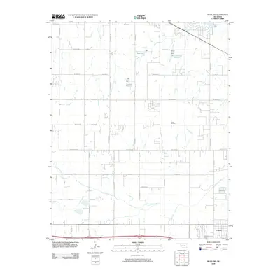
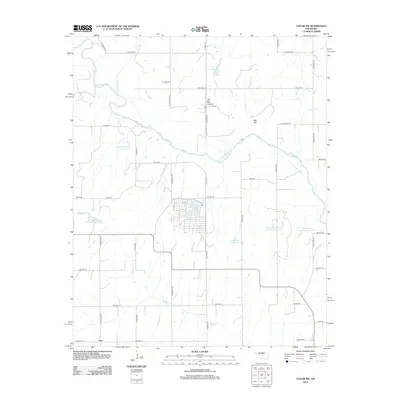
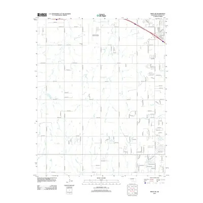
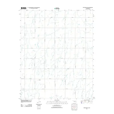
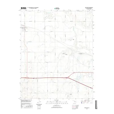
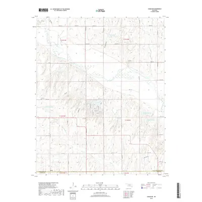
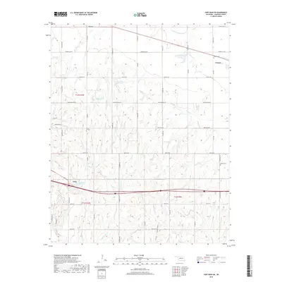
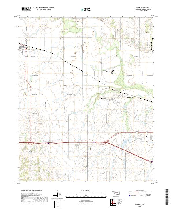
1979 Map of Fort Reno
USGS Topo · Published 1988About this map
Fort Reno and the winding North Canadian River dominate this Central Oklahoma landscape during the late 1970s. The map illustrates a region defined by institutional and agricultural land use, featuring the sprawling Southwestern Livestock and Forage Research Sta and the Darlington State Game Bird Hatchery. To the south, the Federal Reformatory sits near the El Reno corporate boundary, surrounded by numerous water features including Lake Rolla and Lake El Reno.
Find a feature on this map
27 named features on this map. Tap any name to fly to it.
Don’t see what you’re looking for? This feature index may not catch every label — zoom into the map to look around manually.
Map Details
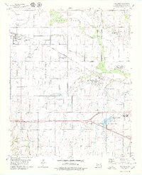
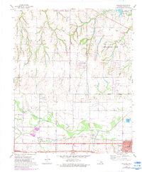
Editions of this 1979 Fort Reno Map
2 editions found
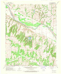
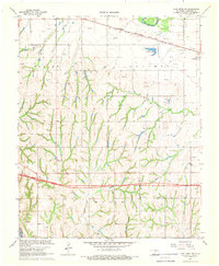
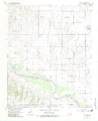
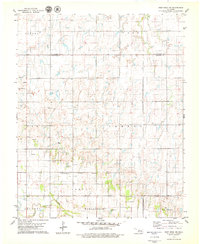
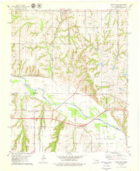
Historical Maps of El Reno Through Time
65 maps found
1893 Cogar
Canadian County, OK

1893 Fort Reno
Canadian County, OK
1941 Fort Reno
Canadian County, OK

1942 Fort Reno
Canadian County, OK

1949 Fort Reno
Canadian County, OK
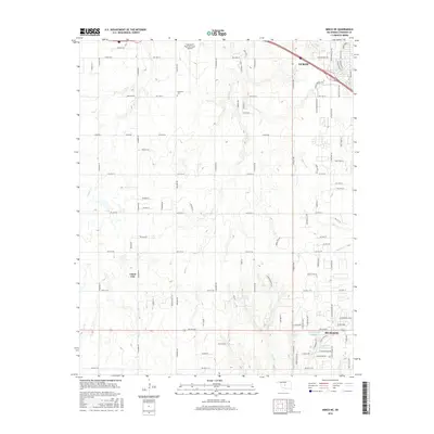
1966 Minco NE
Canadian County, OK
1967 Cogar NW
Canadian County, OK
1967 Fort Reno SW
Canadian County, OK
1968 Cogar NE
Canadian County, OK
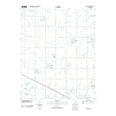
1972 El Reno NE
Canadian County, OK
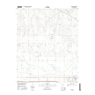
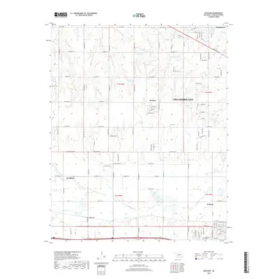
1972 Richland
Canadian County, OK
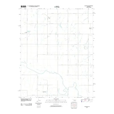
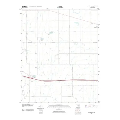
1979 Fort Reno
Canadian County, OK
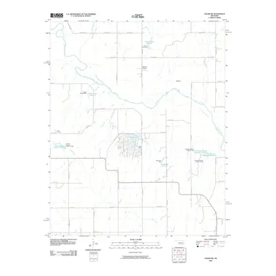
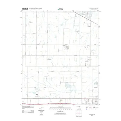
1979 Fort Reno NE
Canadian County, OK
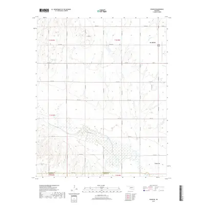
1979 Geary South
Canadian County, OK
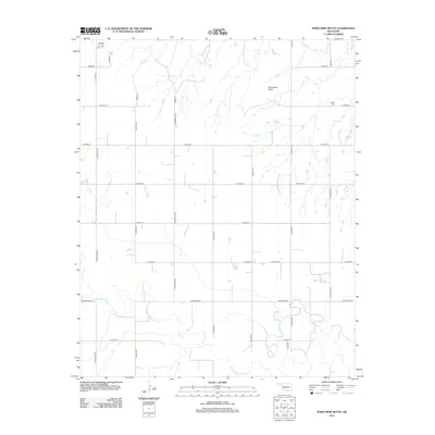
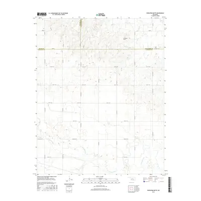
1979 Porcupine Butte
Canadian County, OK
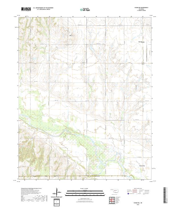
2009 Cogar NE
Canadian County, OK
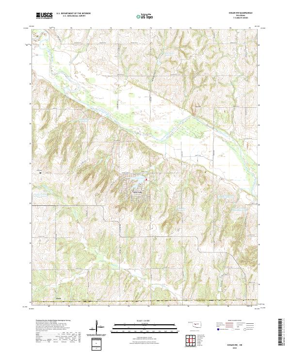
2009 Cogar NW
Canadian County, OK
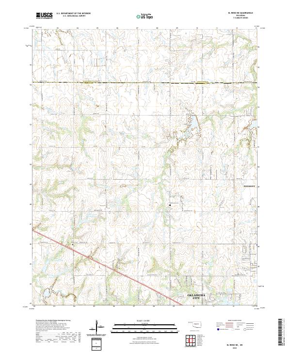
2009 El Reno NE
Canadian County, OK
2009 Fort Reno
Canadian County, OK
2009 Fort Reno SW
Canadian County, OK
2009 Minco NE
Canadian County, OK
2009 Porcupine Butte
Canadian County, OK
2009 Richland
Canadian County, OK
2010 Fort Reno NE
Canadian County, OK
2010 Geary South
Canadian County, OK
2012 Cogar NE
Canadian County, OK
2012 Cogar NW
Canadian County, OK
2012 Fort Reno
Canadian County, OK
2012 Fort Reno SW
Canadian County, OK
2012 Geary South
Canadian County, OK
2012 Minco NE
Canadian County, OK
2012 Porcupine Butte
Canadian County, OK
2012 Richland
Canadian County, OK
2013 El Reno NE
Canadian County, OK
2013 Fort Reno NE
Canadian County, OK
2016 Cogar NE
Canadian County, OK
2016 Cogar NW
Canadian County, OK
2016 El Reno NE
Canadian County, OK
2016 Fort Reno
Canadian County, OK
2016 Fort Reno NE
Canadian County, OK
2016 Fort Reno SW
Canadian County, OK
2016 Geary South
Canadian County, OK
2016 Minco NE
Canadian County, OK
2016 Porcupine Butte
Canadian County, OK
2016 Richland
Canadian County, OK
2018 Cogar NE
Canadian County, OK
2018 Cogar NW
Canadian County, OK
2018 El Reno NE
Canadian County, OK
2018 Fort Reno
Canadian County, OK
2018 Fort Reno NE
Canadian County, OK
2018 Fort Reno SW
Canadian County, OK
2018 Geary South
Canadian County, OK
2018 Minco NE
Canadian County, OK
2018 Porcupine Butte
Canadian County, OK
2018 Richland
Canadian County, OK
2022 Cogar NE
Canadian County, OK
2022 Cogar NW
Canadian County, OK
2022 El Reno NE
Canadian County, OK
2022 Fort Reno
Canadian County, OK
2022 Fort Reno NE
Canadian County, OK
2022 Fort Reno SW
Canadian County, OK

2022 Geary South
Canadian County, OK
2022 Minco NE
Canadian County, OK
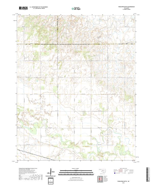
2022 Porcupine Butte
Canadian County, OK
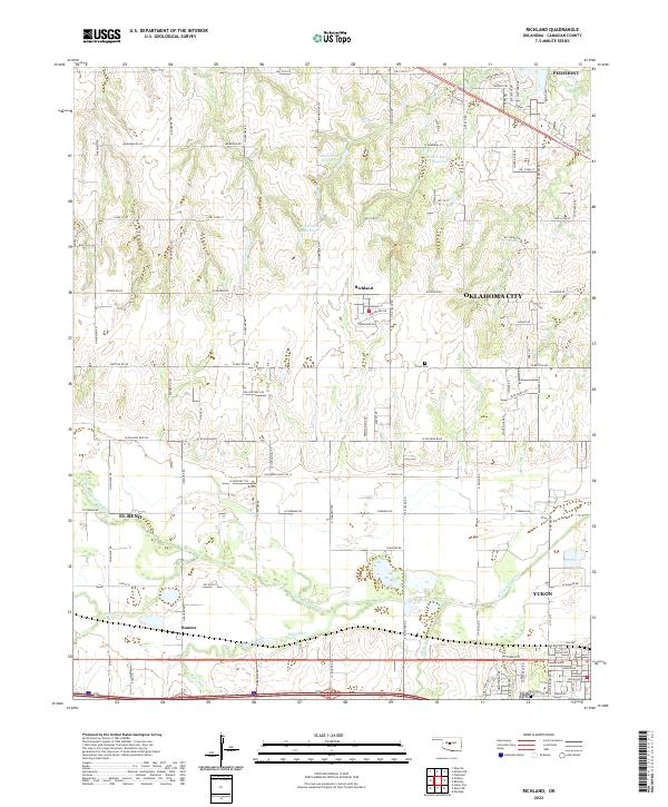
2022 Richland
Canadian County, OK