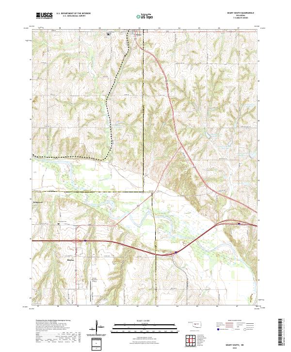
2022 Map of Geary South
USGS Topo · Published 2022About this map
The Canadian River cuts a wide, braided path across this central Oklahoma landscape, marking the intersection of Blaine, Caddo, and Canadian counties. This corridor is defined by the legacy of Western travel, where modern transit lines run parallel to the historic Old 66 Rd and Old US Hwy 66. The settlement of Bridgeport sits near the river's edge, while Hinton and Geary anchor the southern and northern reaches of the sheet.
Find a feature on this map
64 named features on this map. Tap any name to fly to it.
Don’t see what you’re looking for? This feature index may not catch every label — zoom into the map to look around manually.
Map Details
Editions of this 2022 Geary South Map
This is the sole edition of this map. No revisions or reprints were ever made.
Other maps of this area

1893 · Fort Reno
USGS Topo · 1:62,500

1893 · Buggy Creek
USGS Topo · 1:62,500

1941 · Fort Reno
USGS Topo · 1:62,500

1942 · Fort Reno
USGS Topo · 1:62,500

1942 · Geary
USGS Topo · 1:62,500

1949 · Fort Reno
USGS Topo · 1:62,500

1951 · Binger
USGS Topo · 1:62,500

1955 · Clinton
USGS Topo · 1:250,000

1957 · Clinton
USGS Topo · 1:250,000

1967 · Fort Reno SW
USGS Topo · 1:24,000