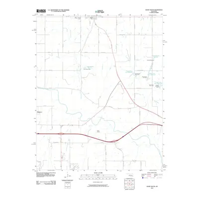
2010 Map of Geary South
USGS Topo · Published 2010About this map
The Canadian River carves a winding path across this portion of central Oklahoma, defining the topographical character of the landscape near the southern edge of Geary. To the west, the small settlement of Bridgeport sits near the riverbanks, illustrating the historical importance of water access for these prairie communities. The terrain is marked by significant erosion patterns, most notably at Fisher Canyon, and the drainage provided by Lumpmouth Creek.
Find a feature on this map
42 named features on this map. Tap any name to fly to it.
Don’t see what you’re looking for? This feature index may not catch every label — zoom into the map to look around manually.
Map Details
Editions of this 2010 Geary South Map
This is the sole edition of this map. No revisions or reprints were ever made.
Other maps of this area

1893 · Fort Reno
USGS Topo · 1:62,500

1893 · Buggy Creek
USGS Topo · 1:62,500

1941 · Fort Reno
USGS Topo · 1:62,500

1942 · Fort Reno
USGS Topo · 1:62,500

1942 · Geary
USGS Topo · 1:62,500

1949 · Fort Reno
USGS Topo · 1:62,500

1951 · Binger
USGS Topo · 1:62,500

1955 · Clinton
USGS Topo · 1:250,000

1957 · Clinton
USGS Topo · 1:250,000

1967 · Fort Reno SW
USGS Topo · 1:24,000