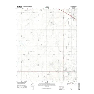
2016 Map of Minco NE
USGS Topo · Published 2016About this map
Yukon and Mustang anchor this landscape along the border of Oklahoma and Canadian Counties during a period of suburban expansion. The survey captures a network of residential developments and agricultural corridors, where modern thoroughfares like Garth Brooks Blvd meet long-established routes such as Reuter Rd E and NW 10th St. Amidst this growth, the Forehand Cem stands as a quiet link to the area's earlier rural history, situated just east of Gregory Rd.
Find a feature on this map
105 named features on this map. Tap any name to fly to it.
Don’t see what you’re looking for? This feature index may not catch every label — zoom into the map to look around manually.
Map Details
Editions of this 2016 Minco NE Map
This is the sole edition of this map. No revisions or reprints were ever made.
Other maps of this area

1892 · Kingfisher
USGS Topo · 1:125,000

1893 · Oklahoma City
USGS Topo · 1:62,500

1893 · Minco
USGS Topo · 1:62,500

1895 · Kingfisher
USGS Topo · 1:125,000

1904 · Chickasha
USGS Topo · 1:125,000

1954 · Oklahoma City
USGS Topo · 1:250,000

1956 · Oklahoma City
USGS Topo · 1:62,500

1957 · Oklahoma City
USGS Topo · 1:250,000

1963 · Oklahoma City
USGS Topo · 1:250,000
1965 · Oklahoma City SW
USGS Topo · 1:24,000