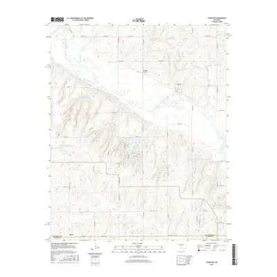
2016 Map of Cogar NW
USGS Topo · Published 2016About this map
The Canadian River meanders across this landscape on the border of Canadian and Caddo Counties, defining a region where water management is central to the land's utility. A dense network of private and named impoundments, including the Chester Chiles Reservoir, Eugene Powers Reservoir, and Frenchie Hickman Number 1 Reservoir, illustrates the modern reliance on managed water resources for agriculture and local use. Near the southern edge, the settlement of Scott sits along Co Rd 1130, while the presence of Niles Cem to the northwest provides a point of interest for genealogists tracking early families in the area.
Find a feature on this map
42 named features on this map. Tap any name to fly to it.
Don’t see what you’re looking for? This feature index may not catch every label — zoom into the map to look around manually.
Map Details
Editions of this 2016 Cogar NW Map
This is the sole edition of this map. No revisions or reprints were ever made.
Other maps of this area

1893 · Fort Reno
USGS Topo · 1:62,500

1893 · Buggy Creek
USGS Topo · 1:62,500

1941 · Fort Reno
USGS Topo · 1:62,500

1942 · Fort Reno
USGS Topo · 1:62,500

1942 · Geary
USGS Topo · 1:62,500

1949 · Fort Reno
USGS Topo · 1:62,500

1951 · Binger
USGS Topo · 1:62,500

1955 · Clinton
USGS Topo · 1:250,000

1957 · Clinton
USGS Topo · 1:250,000

1967 · Fort Reno SW
USGS Topo · 1:24,000