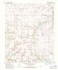
1972 Map of El Reno NE
USGS Topo · Published 1983About this map
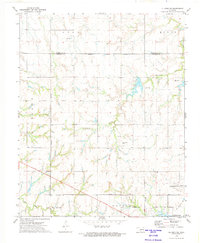
Piedmont serves as the focal point of this Oklahoma landscape, which underwent significant boundary shifts between the initial 1970 photogrammetric survey and the 1981 revisions. The area is defined by the agricultural and township divisions of Mathewson Twp and Downs Twp, where the topography is drained by Cottonwood Creek and Uncle Johns Creek. A distinctive cultural layer is visible in the transition from the legacy of the Frisco rail line to the presence of an Old Railroad Gr, suggesting a changing transport network as the Piedmont Corporate Boundary and Oklahoma City Corporate Boundary expanded.
Find a feature on this map
19 named features on this map. Tap any name to fly to it.
Don’t see what you’re looking for? This feature index may not catch every label — zoom into the map to look around manually.
Map Details
Editions of this 1972 El Reno NE Map
2 editions found
Other maps of this area

1892 · Kingfisher
USGS Topo · 1:125,000

1895 · Kingfisher
USGS Topo · 1:125,000

1954 · Oklahoma City
USGS Topo · 1:250,000

1957 · Oklahoma City
USGS Topo · 1:250,000

1963 · Oklahoma City
USGS Topo · 1:250,000
1966 · Bethany
USGS Topo · 1:24,000

1966 · Piedmont
USGS Topo · 1:24,000
1970 · Cashion
USGS Topo · 1:24,000
1972 · Kingfisher SE
USGS Topo · 1:24,000
1972 · El Reno NE
USGS Topo · 1:24,000