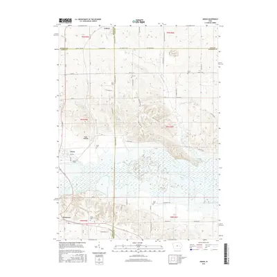
2015 Map of Amana
USGS Topo · Published 2015About this map
The Iowa River valley and its surrounding wetlands dominate this 2015 study of the Amana Colonies region, where the river's path is flanked by Holdens Pond and the extensive Matson Pond. This landscape reflects the unique communal heritage of the area, with the settlements of Amana, East Amana, and Homestead established along the southern and western periphery of the river's floodplain. The northern reaches of the Coralville Lake reservoir are visible, demonstrating how water management shaped the local topography alongside natural drainage features like Knapp Creek and Rhine Cr.
Find a feature on this map
70 named features on this map. Tap any name to fly to it.
Don’t see what you’re looking for? This feature index may not catch every label — zoom into the map to look around manually.
Map Details
Editions of this 2015 Amana Map
This is the sole edition of this map. No revisions or reprints were ever made.
Other maps of this area

1887 · Cedar Rapids
USGS Topo · 1:62,500

1888 · Amana
USGS Topo · 1:62,500

1889 · Amana
USGS Topo · 1:62,500

1891 · Oxford
USGS Topo · 1:62,500

1891 · Cedar Rapids
USGS Topo · 1:62,500

1891 · Iowa City
USGS Topo · 1:62,500

1894 · Oxford
USGS Topo · 1:62,500

1899 · Amana
USGS Topo · 1:62,500

1903 · Fairfax
USGS Topo · 1:125,000

1938 · Iowa City
USGS Topo · 1:62,500