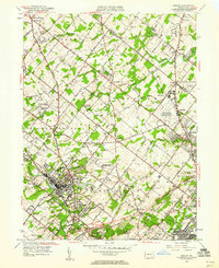
1952 Map of Ambler
USGS Topo · Published 1960About this map
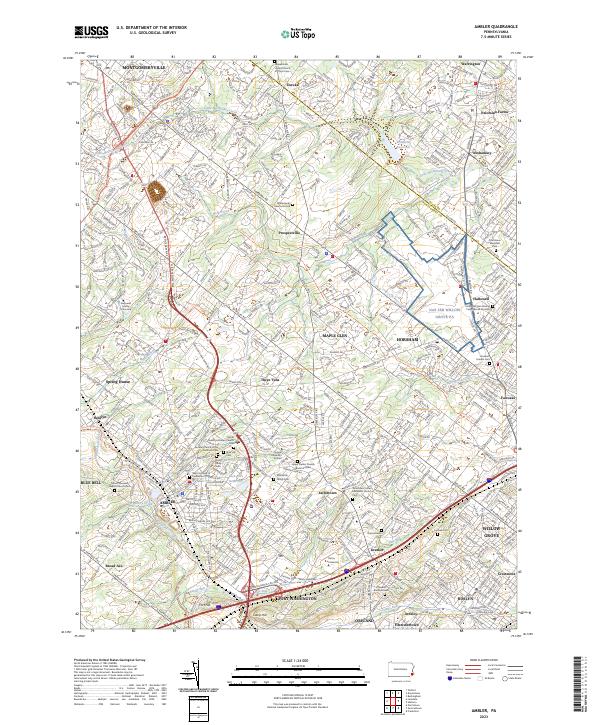
The borough of Ambler serves as a dense residential and commercial hub in this early 1950s survey, surrounded by established crossroads settlements like Spring House, Three Tuns, and Jarrettown. This era captures the region's transition as pastoral land gives way to institutions and infrastructure, notably the U S Naval Air Station (Willow Grove) and the Pennsylvania School of Horticulture. Prominent transportation corridors like the Bethlehem Pike and the Reading railroad define the movement of goods and people across the Montgomery and Bucks County line.
Find a feature on this map
72 named features on this map. Tap any name to fly to it.
Don’t see what you’re looking for? This feature index may not catch every label — zoom into the map to look around manually.
Map Details
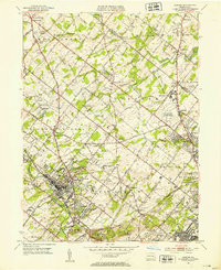
Editions of this 1952 Ambler Map
2 editions found
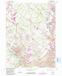
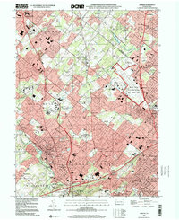
Historical Maps of Abington Township Through Time
4 maps found
Featured Locations
- Abington Township, PA
- Horsham Township, PA
- Whitemarsh Township, PA
- Warminster Township, PA
- Warrington Township, PA