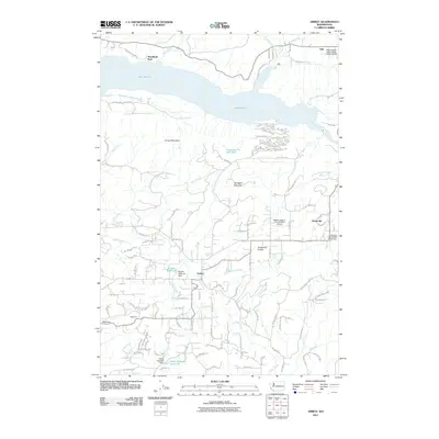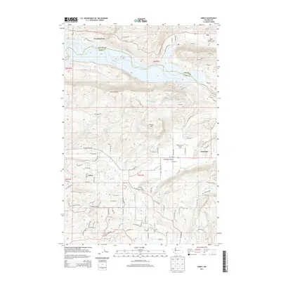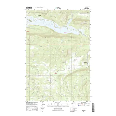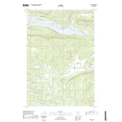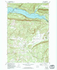
1971 Map of Amboy
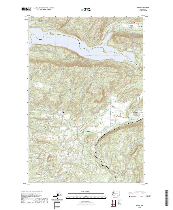
USGS Topo · Published 1994About this map
Amboy and the surrounding timberlands of northern Clark County are defined by the sharp transition from the Chelatchie Prairie to the steep slopes of Green Mountain. This 1971 survey captures the region's industrial and agricultural balance, featuring the Chelatchie Prairie RR line serving the small community of Chelatchie, where a Ranger Station and Landing Strip are situated. To the north, the Lewis River is impounded to form Lake Merwin, a massive water body that reshaped the local topography and created recreational hubs like Woodland Park. The map documents a working landscape of resource extraction and infrastructure, indicated by numerous sites like Maple Pit and the State Fish Hatchery. Local family names are preserved through the rural road network, including Eaton Road and Worthington Road, providing valuable context for genealogical research in this Pacific Northwest corridor.
Find a feature on this map
42 named features on this map. Tap any name to fly to it.
Don’t see what you’re looking for? This feature index may not catch every label — zoom into the map to look around manually.
Map Details
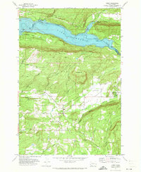
Editions of this 1971 Amboy Map
2 editions found
Historical Maps of Yale Through Time
6 maps found