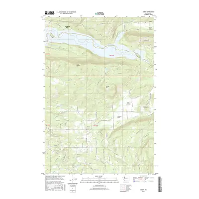
2017 Map of Amboy
USGS Topo · Published 2017About this map
Amboy and Chelatchie anchor this study of the southwest Washington landscape, where the Clark County and Cowlitz County border intersects the Lewis River. The topography is dominated by the expansive Lake Merwin, with Speelyai Bay reaching into the northern timberlands. Settlement patterns follow the lowlands of the Chelatchie Prairie, a distinct geographic break between the prominence of Green Mountain and Donegan Mtn.
Find a feature on this map
102 named features on this map. Tap any name to fly to it.
Don’t see what you’re looking for? This feature index may not catch every label — zoom into the map to look around manually.
Map Details
Editions of this 2017 Amboy Map
This is the sole edition of this map. No revisions or reprints were ever made.
Other maps of this area

1919 · Mount St Helens
USGS Topo · 1:125,000

1940 · La Center
USGS Topo · 1:62,500

1941 · Yacolt
USGS Topo · 1:62,500

1943 · Pigeon Springs
USGS Topo · 1:62,500

1948 · Vancouver
USGS Topo · 1:250,000

1950 · Vancouver
USGS Topo · 1:250,000

1950 · Vancouver
USGS Topo · 1:250,000

1953 · Hoquiam
USGS Topo · 1:250,000

1953 · Pigeon Springs
USGS Topo · 1:62,500

1953 · Cougar
USGS Topo · 1:62,500