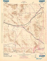
1943 Map of Amboy
USGS Topo · Published 1943About this map
The Atchison Topeka and Santa Fe and Union Pacific railroads define the logistical spine of the high desert during the Second World War. This Army Corps of Engineers training map highlights a landscape of strategic importance, featuring the 3rd Armd Div Camp and numerous landing fields situated on dry lake beds like Bristol Lake. Along the rail lines, small desert outposts such as Bolo Station, Siam, and Bagdad represent a network of water stops and telegraph points essential for cross-country transport.
Find a feature on this map
70 named features on this map. Tap any name to fly to it.
Don’t see what you’re looking for? This feature index may not catch every label — zoom into the map to look around manually.
Map Details
Editions of this 1943 Amboy Map
This is the sole edition of this map. No revisions or reprints were ever made.
Other maps of this area
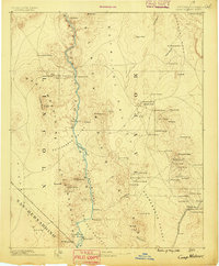
1886 · Camp Mohave
USGS Topo · 1:250,000
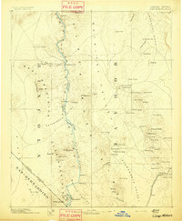
1892 · Camp Mohave
USGS Topo · 1:250,000
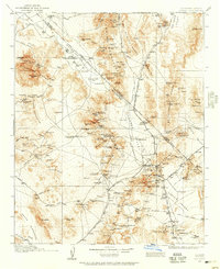
1910 · Ivanpah
USGS Topo · 1:250,000
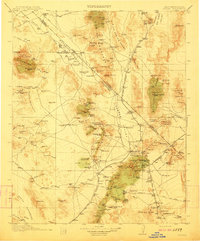
1912 · Ivanpah
USGS Topo · 1:250,000
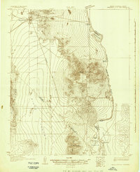
1926 · Mohave City
USGS Topo · 1:96,000
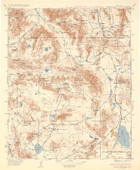
1933 · Avawatz Mountains
USGS Topo · 1:250,000
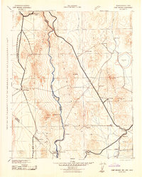
1942 · Camp Mohave
USGS Topo · 1:250,000
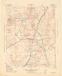
1942 · Ivanpah
USGS Topo · 1:250,000
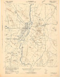
1942 · Blythe
USGS Topo · 1:250,000
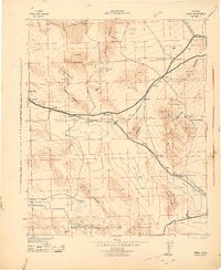
1942 · Amboy
USGS Topo · 1:250,000