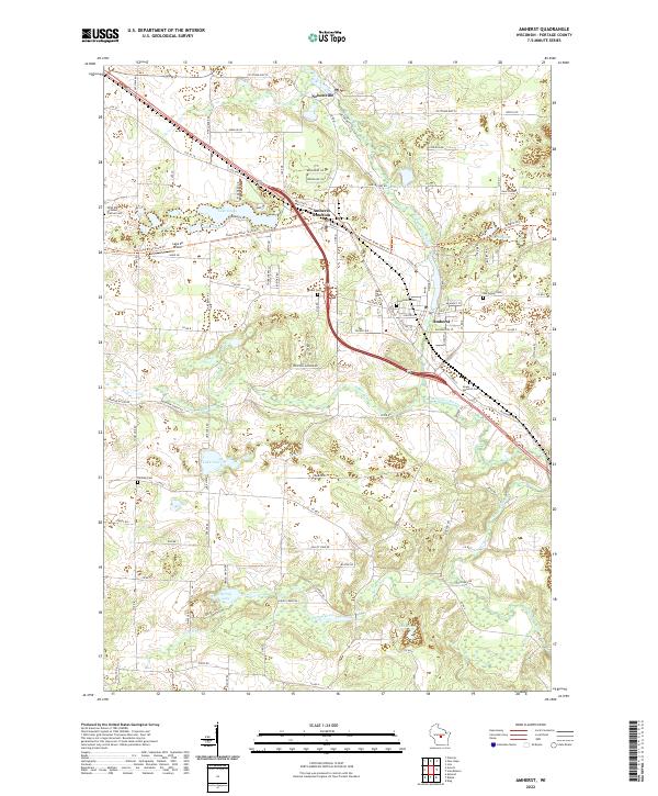
2022 Map of Amherst
USGS Topo · Published 2022About this map
The Tomorrow River and Waupaca River define the hydraulic landscape of eastern Portage County, anchoring the closely linked communities of Nelsonville, Amherst Junction, and Amherst. This 2022 survey captures the modern alignment of these historic settlements along the Tomorrow River State Trl, a recreational corridor following a former rail line. The region is notable for its glacial topography, featuring numerous kettle lakes such as Lake Emily, Ell Lake, and Lake Julia. Genealogists will find several burial grounds documented, including Saint Mary of Mount Carmel Cem in the northwest, Greenwood Cem, and the Lower Amherst Cem. The map illustrates a landscape where small-town street grids like Mill St and Main St give way to a dense network of county roads and family-named landmarks like Pavelski Rd and Berberg Rd, reflecting the area's deep agricultural and residential roots.
Find a feature on this map
107 named features on this map. Tap any name to fly to it.
Don’t see what you’re looking for? This feature index may not catch every label — zoom into the map to look around manually.
Map Details
Editions of this 2022 Amherst Map
This is the sole edition of this map. No revisions or reprints were ever made.
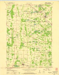
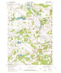
Historical Maps of Amherst Junction Through Time
3 maps found