1957 Map of Amherst
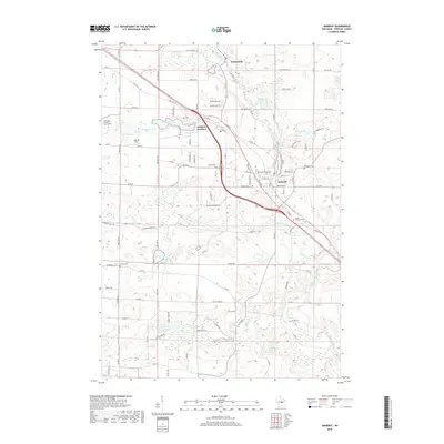
USGS Topo · Published 1959About this map
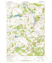
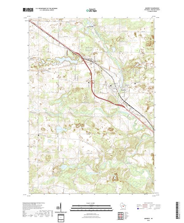
The Tomorrow River winds through the eastern portion of this landscape, connecting the village of Amherst to Nelsonville and powering a landscape defined by small-scale farming and scattered schoolhouses. The rail infrastructure of central Wisconsin is prominent here, showing the Minneapolis St Paul and Sault Ste Marie crossing the Green Bay and Western at Amherst Junction. This intersection was once a vital hub for moving agricultural goods and timber. To the south, the village of Almond serves as a local center, surrounded by numerous small lakes like Wolf Lake and Pleasant Lake. The map records a transition in rural education, noting the Lincoln Sch (Abandoned) while others like General Irwin Sch and Pleasant Valley Sch remained active. Numerous family and community burial grounds, including Lombard Cem and Spiritland Cem, offer specific points of interest for genealogists tracing the early settlement of Portage County.
Find a feature on this map
88 named features on this map. Tap any name to fly to it.
Don’t see what you’re looking for? This feature index may not catch every label — zoom into the map to look around manually.
Map Details
Editions of this 1957 Amherst Map
This is the sole edition of this map. No revisions or reprints were ever made.
Historical Maps of Stevens Point Through Time
7 maps found