
Loading...
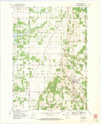
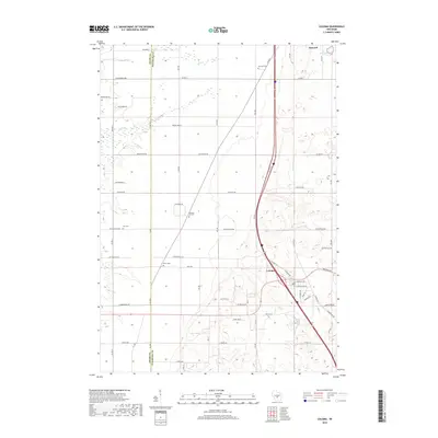
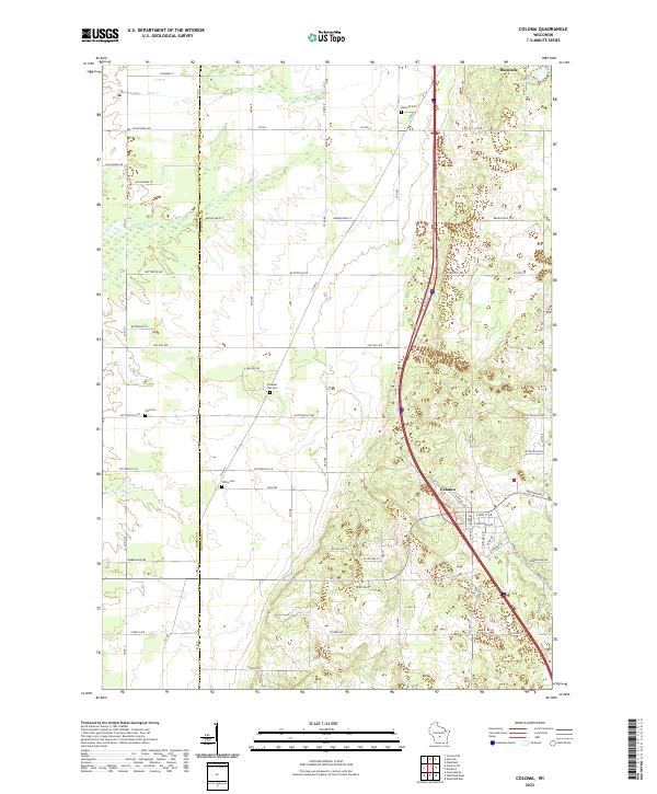
Loading map...1958 Map of Coloma
USGS Topo · Published 1960About this map
The central Wisconsin sand plains are revealed here in a period of agricultural and transportation transition. Small rural settlements like Plainfield, Hancock, and Coloma serve as the primary hubs, linked by the north-south corridor of the Chicago and North Western railroad. The landscape is a network of township lines and section grids, punctuated by local landmarks like Owens Rock and Keystone Rock.
Find a feature on this map
45 named features on this map. Tap any name to fly to it.
Don’t see what you’re looking for? This feature index may not catch every label — zoom into the map to look around manually.
Map Details
Date Portrayed1958
Date Published1960
PublisherU.S. Geological Survey
Map TypeTopographic
Scale1:48,000
Physical Dimensions22.61 x 27.35 inches
Editions of this 1958 Coloma Map
This is the sole edition of this map. No revisions or reprints were ever made.
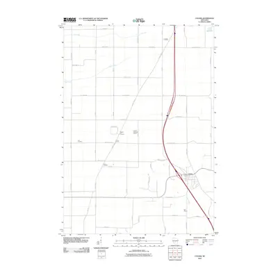
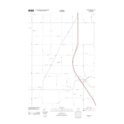
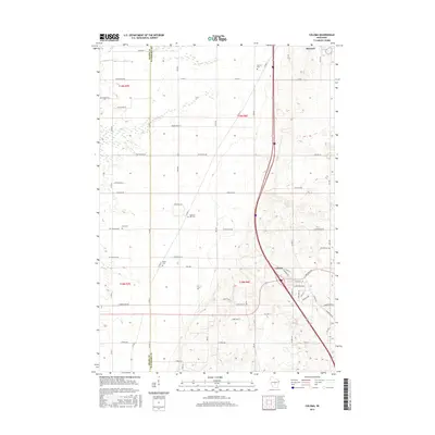
Historical Maps of Big Flats Through Time
7 maps found
Featured Locations
Source Details
SourceU.S. Geological Survey
CopyrightPublic Domain