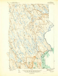
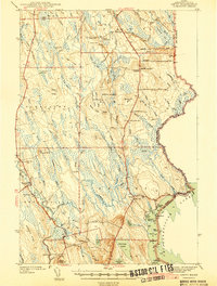
1940 Map of Amity
USGS Topo · Published 1940About this map
Wilcox Settlement and Estabrook Settlement anchor this portrait of Aroostook County, surveyed just before the 1940s. The landscape is defined by the international border, where Monument Road traces the line between the United States and Canada. This era shows a network of small rural schoolhouses like Reed Sch and South Amity Sch serving isolated communities connected by logging and farm roads.
Find a feature on this map
91 named features on this map. Tap any name to fly to it.
Don’t see what you’re looking for? This feature index may not catch every label — zoom into the map to look around manually.
Map Details
Editions of this 1940 Amity Map
This is the sole edition of this map. No revisions or reprints were ever made.
Other maps of this area
1937 · Smyrna Mills
USGS Topo · 1:62,500
1938 · Houlton
USGS Topo · 1:62,500
1940 · Danforth
USGS Topo · 1:62,500
1940 · Forest
USGS Topo · 1:62,500
1941 · Danforth
USGS Topo · 1:62,500
1941 · Amity
USGS Topo · 1:62,500
1941 · Mattawamkeag Lake
USGS Topo · 1:62,500
1941 · Wytopitlock
USGS Topo · 1:62,500
1942 · Forest
USGS Topo · 1:62,500
1943 · Danforth
USGS Topo · 1:62,500