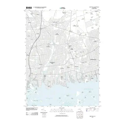
2010 Map of Amityville
USGS Topo · Published 2010About this map
The dense residential corridors and complex waterways of southern Long Island define this 2010 survey. Spanning the Nassau and Suffolk county line, the landscape is a grid of suburban development punctuated by significant institutional land use, most notably the vast cemetery complex near East Farmingdale that includes Saint Charles Cemetery, Wellwood Cemetery, and Pinelawn Cemetery. The aviation legacy of the region is prominent, anchored by the Grumman-Bethpage Airfield and Republic Airport, which sit amidst established communities like Bethpage, Levittown, and Hicksville.
Find a feature on this map
112 named features on this map. Tap any name to fly to it.
Don’t see what you’re looking for? This feature index may not catch every label — zoom into the map to look around manually.
Map Details
Editions of this 2010 Amityville Map
This is the sole edition of this map. No revisions or reprints were ever made.
Other maps of this area

1897 · Hempstead
USGS Topo · 1:62,500

1897 · Oyster Bay
USGS Topo · 1:62,500

1898 · Hempstead
USGS Topo · 1:62,500

1898 · Oyster Bay
USGS Topo · 1:62,500

1899 · Hempstead
USGS Topo · 1:62,500

1900 · Oyster Bay
USGS Topo · 1:62,500

1901 · Babylon
USGS Topo · 1:62,500

1901 · Northport
USGS Topo · 1:62,500

1903 · Babylon
USGS Topo · 1:62,500

1903 · Northport
USGS Topo · 1:62,500