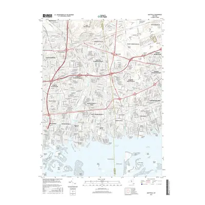
2016 Map of Amityville
USGS Topo · Published 2016About this map
The Nassau and Suffolk county line bisects a densely developed corridor of Long Island in this mid-2010s survey. A massive concentration of commemorative landscapes dominates the north-central region, including the sprawling Pinelawn Memorial Park and Garden Mausoleums, Saint Charles Cem, and New Montefiore Cem. This "cemetery belt" sits adjacent to the aviation hub at Republic Airport and the established village of Farmingdale. To the south, the landscape shifts toward the waterfront communities of Amityville, Massapequa, and Copiague, where residential grids are defined by tidal inlets and creeks like Ketcham Creek and Amityville Creek. The map illustrates the sophisticated infrastructure of the era, from the Southern State Pkwy to the intricate network of islands in the Great South Bay, such as Townsend Island and Squaw Island.
Find a feature on this map
86 named features on this map. Tap any name to fly to it.
Don’t see what you’re looking for? This feature index may not catch every label — zoom into the map to look around manually.
Map Details
Editions of this 2016 Amityville Map
This is the sole edition of this map. No revisions or reprints were ever made.
Other maps of this area

1897 · Hempstead
USGS Topo · 1:62,500

1897 · Oyster Bay
USGS Topo · 1:62,500

1898 · Hempstead
USGS Topo · 1:62,500

1898 · Oyster Bay
USGS Topo · 1:62,500

1899 · Hempstead
USGS Topo · 1:62,500

1900 · Oyster Bay
USGS Topo · 1:62,500

1901 · Babylon
USGS Topo · 1:62,500

1901 · Northport
USGS Topo · 1:62,500

1903 · Babylon
USGS Topo · 1:62,500

1903 · Northport
USGS Topo · 1:62,500