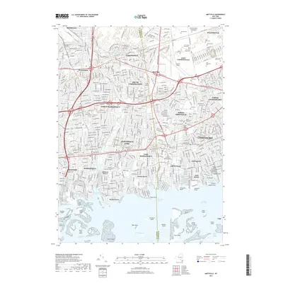
2019 Map of Amityville
USGS Topo · Published 2019About this map
The dense suburban corridor of southern Long Island is documented here along the Nassau Co and Suffolk Co line. This landscape is defined by its extensive memorial grounds and transportation infrastructure, dominated in the north by the massive Saint Charles Cem, New Montefiore Cem, and Pinelawn Memorial Park and Garden Mausoleums. These sprawling estates contrast with the industrial and aviation hub at Republic Airport and the retail center of Sunrise Mall.
Find a feature on this map
89 named features on this map. Tap any name to fly to it.
Don’t see what you’re looking for? This feature index may not catch every label — zoom into the map to look around manually.
Map Details
Editions of this 2019 Amityville Map
This is the sole edition of this map. No revisions or reprints were ever made.
Other maps of this area

1897 · Hempstead
USGS Topo · 1:62,500

1897 · Oyster Bay
USGS Topo · 1:62,500

1898 · Hempstead
USGS Topo · 1:62,500

1898 · Oyster Bay
USGS Topo · 1:62,500

1899 · Hempstead
USGS Topo · 1:62,500

1900 · Oyster Bay
USGS Topo · 1:62,500

1901 · Babylon
USGS Topo · 1:62,500

1901 · Northport
USGS Topo · 1:62,500

1903 · Babylon
USGS Topo · 1:62,500

1903 · Northport
USGS Topo · 1:62,500