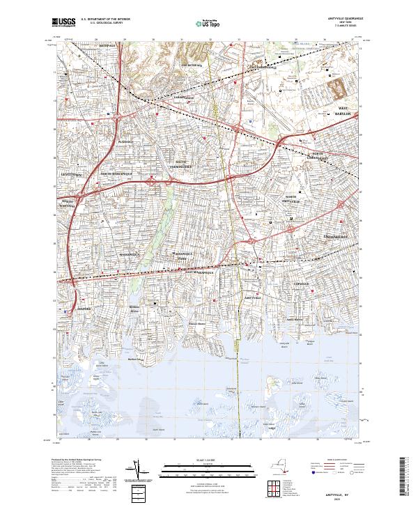
2023 Map of Amityville
USGS Topo · Published 2023About this map
Amityville and its surrounding south shore communities appear here in a high-density suburban landscape, defined by their proximity to Great South Bay. The map highlights a massive corridor of memorial grounds and cemeteries in the northeast, including Saint Charles Cem, Wellwood Cem, and Pinelawn Memorial Park and Arboretum East. These expansive green spaces contrast with the residential grids of Massapequa, Lindenhurst, and Copiague.
Find a feature on this map
88 named features on this map. Tap any name to fly to it.
Don’t see what you’re looking for? This feature index may not catch every label — zoom into the map to look around manually.
Map Details
Editions of this 2023 Amityville Map
This is the sole edition of this map. No revisions or reprints were ever made.
Other maps of this area

1897 · Hempstead
USGS Topo · 1:62,500

1897 · Oyster Bay
USGS Topo · 1:62,500

1898 · Hempstead
USGS Topo · 1:62,500

1898 · Oyster Bay
USGS Topo · 1:62,500

1899 · Hempstead
USGS Topo · 1:62,500

1900 · Oyster Bay
USGS Topo · 1:62,500

1901 · Babylon
USGS Topo · 1:62,500

1901 · Northport
USGS Topo · 1:62,500

1903 · Babylon
USGS Topo · 1:62,500

1903 · Northport
USGS Topo · 1:62,500