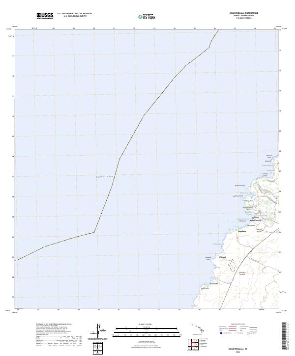
2024 Map of Anaehoomalu
USGS Topo · Published 2024About this map
The Lava Flow of 1859 dominates the southern landscape of this coastal stretch on the Island of Hawai'i, providing a stark geologic backdrop to the modern developments and ancient sites along the shore. This contemporary survey highlights the juxtaposition of luxury development at the Waikoloa Beach Resort with traditional Hawaiian features like the Ku'uali'i Fishpond and the Fishpond at 'Anaeho'omalu Bay.
Find a feature on this map
36 named features on this map. Tap any name to fly to it.
Don’t see what you’re looking for? This feature index may not catch every label — zoom into the map to look around manually.
Map Details
Editions of this 2024 Anaehoomalu Map
This is the sole edition of this map. No revisions or reprints were ever made.
Other maps of this area

1913 · Kohala
USGS Topo · 1:62,500

1916 · Kohala
USGS Topo · 1:62,500

1928 · Puako
USGS Topo · 1:62,500

1954 · Hawaii North
USGS Topo · 1:250,000

1956 · Puu Hinai
USGS Topo · 1:24,000

1956 · Kawaihae
USGS Topo · 1:24,000

1959 · Hawaii North
USGS Topo · 1:250,000

1959 · Kiholo
USGS Topo · 1:24,000
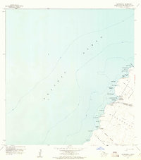
1959 · Anaehoomalu
USGS Topo · 1:24,000

1959 · Makalawena
USGS Topo · 1:24,000